US States That Border Mexico

US States That Border Mexico
Ranking - Geography
Quick Answer
US States That Border Mexico
-
1
4 U.S. states border Mexico: California, Arizona, New Mexico, and Texas. The total U.S.-Mexico border is approximately 1,954 miles. Texas has the longest section at 1,254 miles.
-
2
Texas's 1,254-mile border follows the Rio Grande, a river boundary that shifts with the river's course. The other three states have straight land borders drawn along surveyed parallels and meridians from the Gadsden Purchase of 1853.
-
3
California has the shortest border with Mexico at 140 miles. It is the only one of the four states where the border begins at an ocean, starting at the Pacific coast at Border Field State Park near San Diego.
Map
U.S. States Bordering Mexico: Border Length Map

| Rank | State | Border (mi) |
|---|---|---|
| 1 | Texas | 1,254 |
| 2 | Arizona | 373 |
| 3 | New Mexico | 180 |
| 4 | California | 140 |
Texas (1,254 mi) accounts for 64% of the 1,954-mile U.S.-Mexico border. California (140 mi) is the shortest. Arizona (373 mi) and New Mexico (180 mi) fall between.
US States That Border Mexico Table
4 entries


No matching entries
Adjust the filter to show more entries.
|
Rank
|
State
|
Border (mi)
|
Type
|
Mexican States
|
|---|---|---|---|---|
| 1 |
Texas
|
1254 | River (Rio Grande) | Chihuahua, Coahuila, Nuevo León, Tamaulipas |
| 2 |
Arizona
|
373 | Land | Sonora |
| 3 |
New Mexico
|
180 | Land | Chihuahua |
| 4 |
California
|
140 | Land | Baja California |
No matching entries
Adjust the filter to show more entries.
Download as PDF
Print-ready table — US States That Border Mexico
Longest and Shortest U.S. State Borders with Mexico
Highest
Top 10 Highest — Border (mi)
Texas
 Arizona
 New Mexico
 California
States Bordering Mexico at a Glance
The four U.S. states on the Mexican border do not all look alike on the map. Texas follows a river for 1,254 miles, while California, Arizona, and New Mexico meet Mexico along surveyed land lines.

Texas
- Border length
- 1,254 miles
- Border type
- River, Rio Grande
- Mexican states
- Chihuahua, Coahuila, Nuevo León, Tamaulipas
Texas has by far the longest U.S. border with Mexico, accounting for about 64 percent of the full 1,954-mile boundary. Its line follows the Rio Grande from El Paso to Brownsville.
That makes Texas the outlier on this page. No other border state relies on a long river boundary for its entire southern edge.

Arizona
- Border length
- 373 miles
- Border type
- Land
- Mexican states
- Sonora
Arizona has the second-longest border with Mexico and the longest straight land border of the four states. The line is part of the surveyed boundary created by the Gadsden Purchase of 1853.
Arizona's section feels more like a drawn line than a natural barrier. That is the main contrast with Texas and the Rio Grande.

New Mexico
- Border length
- 180 miles
- Border type
- Land
- Mexican states
- Chihuahua
New Mexico has a shorter border than Arizona, but it shares the same straight-line logic. Its southern boundary also comes from the Gadsden Purchase and meets only one Mexican state, Chihuahua.
That gives New Mexico the simplest border relationship on the page. One state faces one state across a surveyed line.

California
- Border length
- 140 miles
- Border type
- Land
- Mexican states
- Baja California
California has the shortest border with Mexico and the only one that begins at the Pacific Ocean. The line runs east from Border Field State Park toward the Colorado River.
Its border is short, but visually distinctive. California is the only state on this list where the international line starts at open ocean rather than inland desert or river country.
Texas Has the Longest U.S.-Mexico Border

Texas's 1,254-mile border with Mexico accounts for approximately 64% of the total 1,954-mile U.S.-Mexico boundary. The entire Texas-Mexico border follows the Rio Grande from El Paso in the west to Brownsville and the Gulf of Mexico in the east. Texas borders four Mexican states along this stretch: Chihuahua, Coahuila, Nuevo León, and Tamaulipas.
Unlike the other three border states, Texas has no straight surveyed line with Mexico. The Rio Grande's natural course defines the boundary, and the river shifts over time. The International Boundary and Water Commission jointly monitors the river and adjusts boundary markers when the channel moves. The combined border lengths of Arizona (373 mi), New Mexico (180 mi), and California (140 mi) total 693 miles, just over half of Texas's 1,254-mile stretch.
California Has the Shortest Border with Mexico
California's 140-mile border with Mexico is the shortest of the four border states and the only one that starts at an ocean. The border runs east from the Pacific coast at Border Field State Park, passes through the San Diego area, and ends at the Colorado River where California, Arizona, and Baja California meet. California borders only one Mexican state: Baja California.
Arizona and New Mexico Have Straight Surveyed Borders with Mexico
Arizona (373 mi) and New Mexico (180 mi) share straight, surveyed land borders with Mexico running along the 31°20' parallel. Both borders were established by the Gadsden Purchase of 1853, in which the U.S. paid Mexico $10 million for the land strip that now forms their southern boundaries. Arizona borders only Sonora; New Mexico borders only Chihuahua.
Before the Gadsden Purchase, the border ran north of Tucson, Arizona, placing it inside Mexico. The purchase extended the U.S. boundary south to its current line. The straight borders of Arizona and New Mexico contrast with Texas's 1,254-mile winding Rio Grande boundary, which follows the river's natural course rather than any surveyed parallel.
Quick Answers
How many U.S. states border Mexico?
Name one state that borders Mexico
Which state has the longest border with Mexico?
Which state has the shortest border with Mexico?
Does Texas border Mexico by land or by river?
What Mexican states border the United States?
Methodology
Border lengths are drawn from U.S. Census TIGER/Line boundary data and International Boundary and Water Commission (IBWC) surveys. The Texas border follows the centerline of the Rio Grande. The California, Arizona, and New Mexico borders follow surveyed straight lines. All figures are approximate and rounded to the nearest mile.
Sources
You Might Also Like

Serial Killers by State
Alaska has the highest serial killer rate at 0.867 per 100,000 residents. Hawaii is lowest, and California has the highest raw count at 128.

Flag of Arkansas
Arkansas had no state flag until 1913. Its white diamond marks the only diamond-producing state. A fourth star marks Confederate membership.

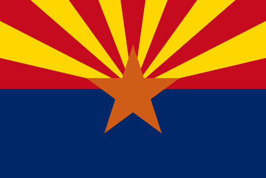
Flag of Arizona
Arizona's flag was sketched on an envelope in 1910 for a rifle team. Adopted in 1917, it became law without the governor's signature.

Flag of Alaska
Benny Benson designed Alaska's flag at 13. Eight gold stars on navy blue, the Big Dipper pointing to Polaris, adopted in 1927 and kept at statehood.

Alabama State Flag
Alabama's crimson cross on white was adopted in 1895, likely modeled after the Confederate Battle Flag. The state's first flag was destroyed by a storm one month after raising.

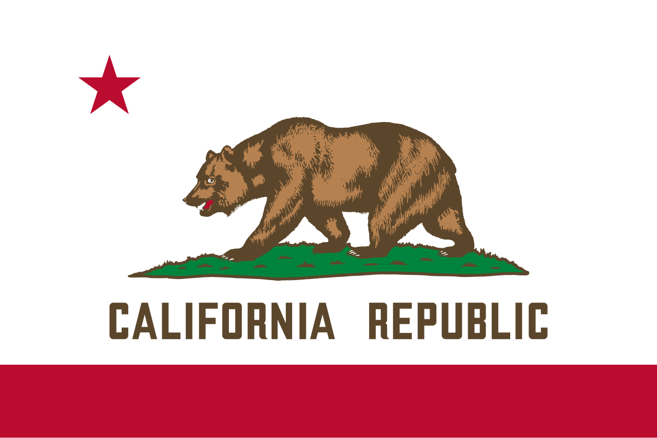
Flag of California
Brown grizzly on white, adopted in 1911, traces to settler William Todd's handmade flag raised at Sonoma on June 14, 1846.

Rainwater Harvesting Laws by State
Rainwater harvesting is legal in all 50 states. Colorado caps residential storage at 110 gallons, while Utah allows up to 2,500 gallons.

Weird Laws in Arkansas
Weird laws in Arkansas include a repealed statewide tattoo ban, a 145-year-old pronunciation law, and a Sunday car sales rule that is still enforced today.