What States Border Texas
Texas borders four U.S. states: Oklahoma to the north, Arkansas to the northeast, Louisiana to the east, and New Mexico to the west. Texas also shares an international border with Mexico to the south and southwest. The Gulf of Mexico forms Texas's southeastern coastline. The Rio Grande creates most of the international border with Mexico, while the Red River forms the northern boundary with Oklahoma.
- Bordering States
- 4
- International
- Mexico
- Water Border
- Gulf of Mexico
- Access
- Coast or water access
Texas Border Map
Map showing Texas's boundaries with four states, Mexico, the Rio Grande, and the Gulf of Mexico.
Map showing Texas's boundaries with four states, Mexico, the Rio Grande, and the Gulf of Mexico.
Border Details
Explore each of Texas's borders in detail. Click any card to learn more.
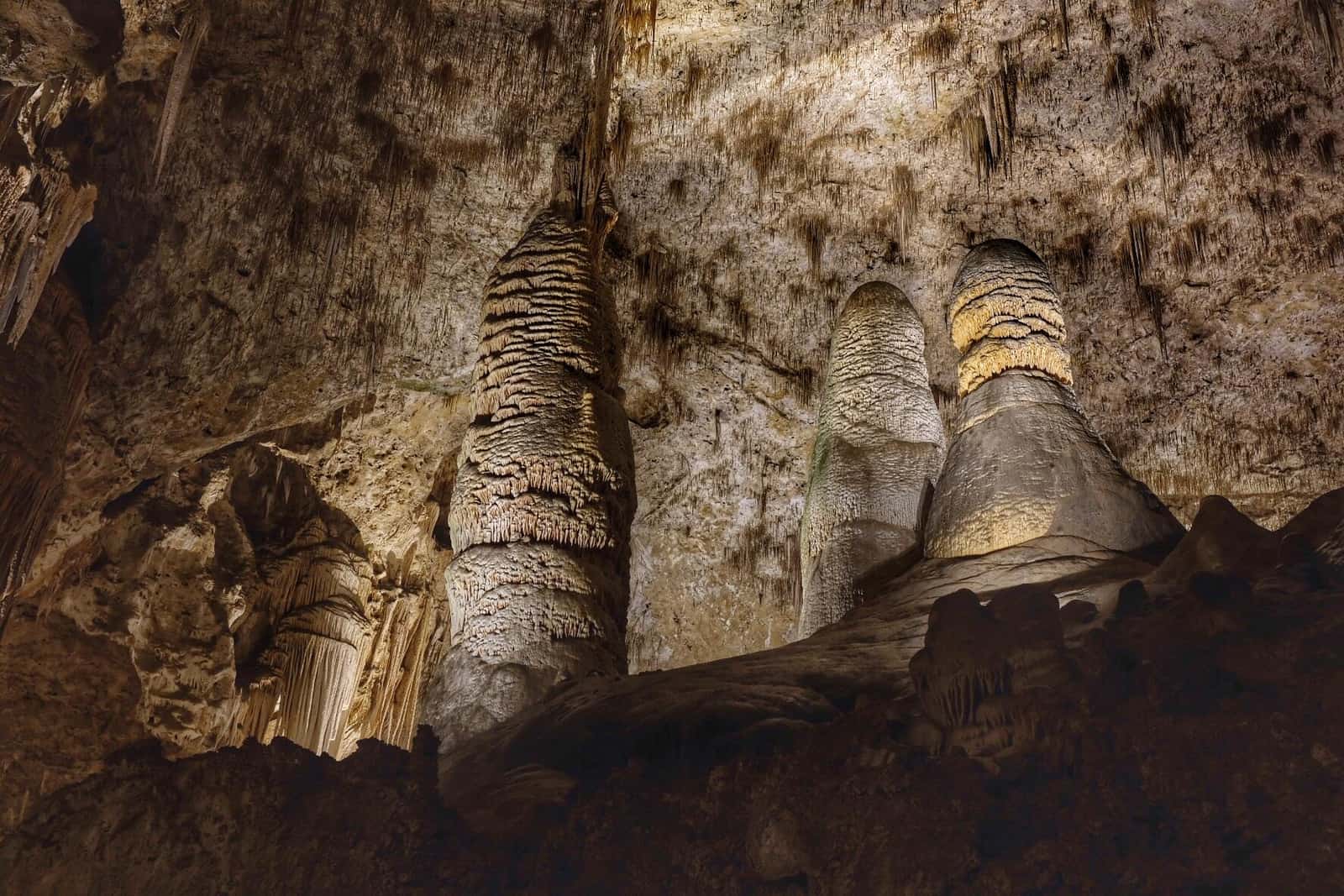
Carlsbad Caverns National Park
Oklahoma
The Red River forms most of Texas's northern border with Oklahoma.
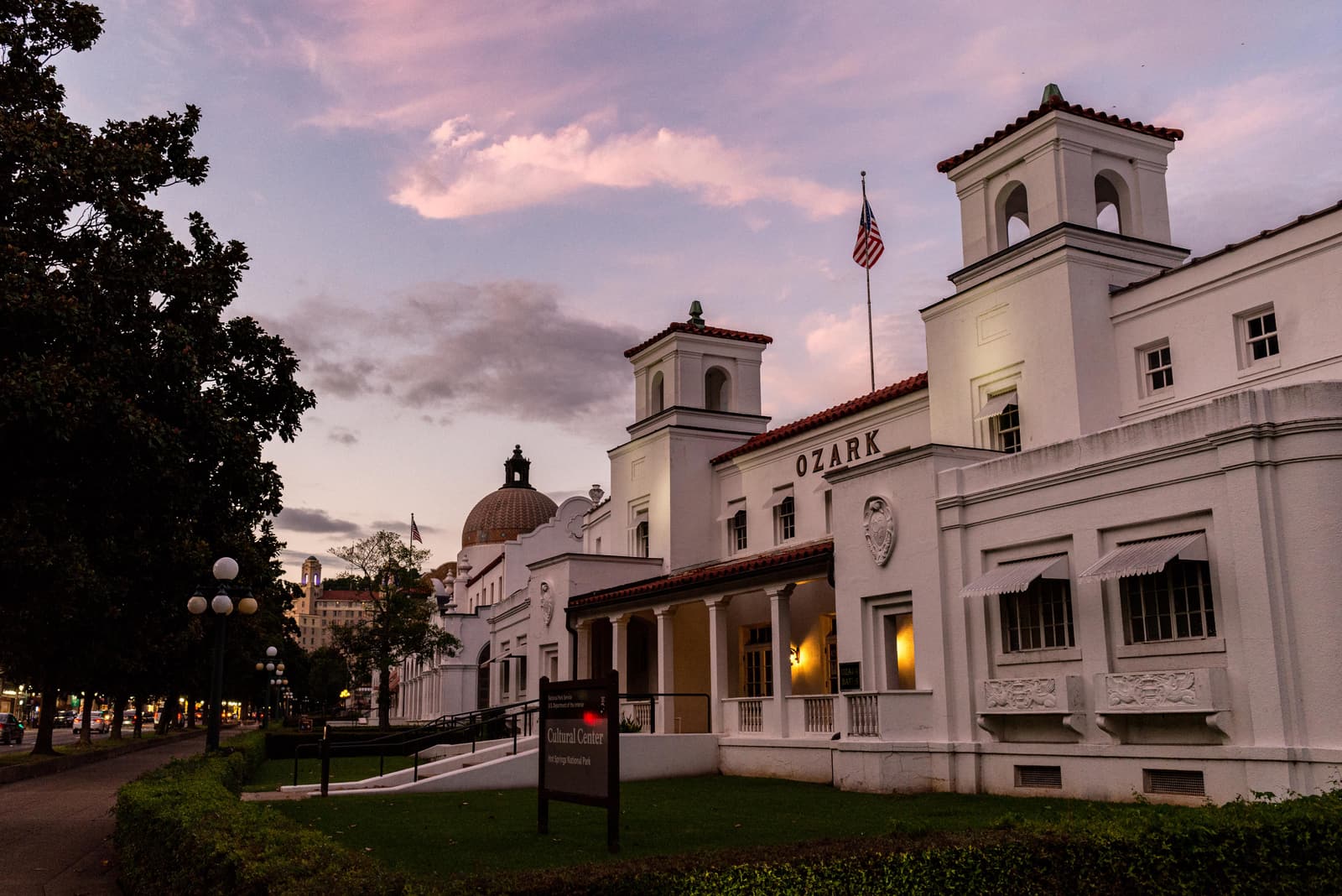
Hot Springs National Park
Arkansas
Arkansas borders Texas in the northeastern corner with rivers and land borders.
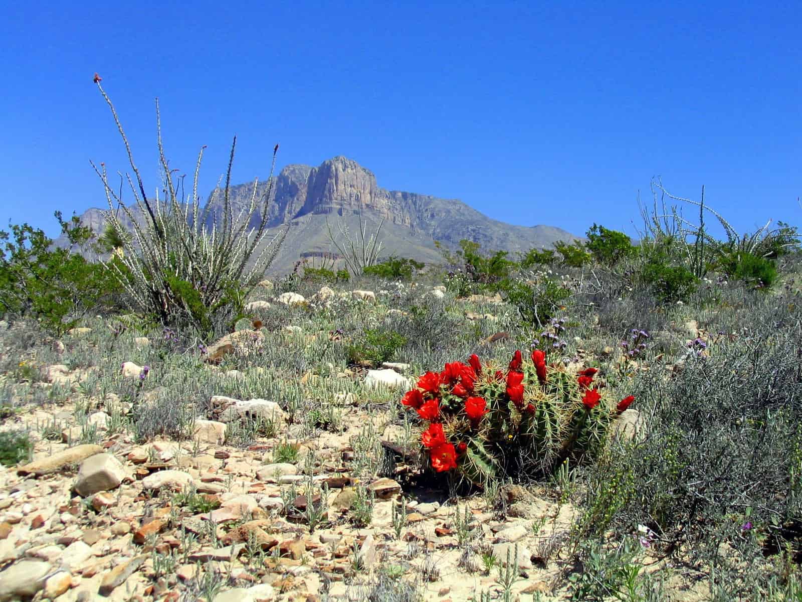
Guadalupe Mountains National Park
Louisiana
The Sabine River and Toledo Bend Reservoir form much of the Texas-Louisiana border.
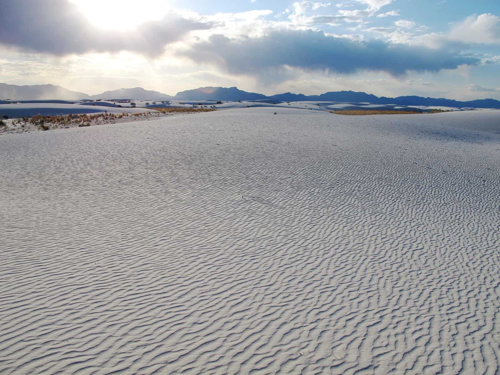
White Sands National Park
New Mexico
New Mexico borders Texas along a straight north-south line in the west.
Dry Tortugas National Park
Mexico
The Rio Grande creates about 1,250 miles of international border between Texas and Mexico.
Biscayne National Park
Gulf of Mexico
Texas has about 367 miles of Gulf coastline along its southeastern edge.
Which States Border Texas?
Texas shares borders with four U.S. states: Oklahoma to the north, Arkansas to the northeast, Louisiana to the east, and New Mexico to the west. Rivers form much of these boundaries, while surveyed lines create others. Despite being the second-largest state, Texas borders relatively few states compared to some smaller states in the country.
North: Oklahoma (Red River Border)
Carlsbad Caverns National Park
Oklahoma and Texas are separated primarily by the Red River along Texas's northern edge. This winding river creates one of the most famous state boundaries in the South Central United States.
The Texas-Oklahoma border follows the Red River for about 480 miles from New Mexico in the west to Arkansas in the east. A small land border exists in the far western Panhandle. The Red River boundary has been the subject of disputes between the states over where exactly the border lies within the shifting river channel. Texas counties along this border include Dallam, Hartley, Sherman, Hansford, Ochiltree, Lipscomb, Hemphill, Wheeler, Collingsworth, Childress, Hardeman, Wilbarger, Wichita, Clay, Montague, Cooke, Grayson, Fannin, Lamar, and Red River. Major cities near this border include Wichita Falls and Texarkana.
- About 480 miles along Red River
- Historic border disputes over river
- Small Panhandle land border in west
North-East: Arkansas
Hot Springs National Park
Arkansas borders Texas in the northeastern corner. This is Texas's shortest state border, combining river boundaries with land borders in a small region.
The Texas-Arkansas border extends for about 115 miles from Oklahoma in the north to Louisiana in the south. The border includes portions of the Sulphur River and follows surveyed lines. Texas counties along this border include Bowie, Cass, and Marion. The city of Texarkana is famously split by the state line, sitting in both Texas and Arkansas (and close to Louisiana and Oklahoma). This tri-state region is known for its unique geography where Texas meets Arkansas and Louisiana.
- About 115 miles, Texas's shortest state border
- Texarkana split by state line
- Near four-state corner
East: Louisiana
Guadalupe Mountains National Park
Louisiana borders Texas on the eastern side. The Sabine River and Toledo Bend Reservoir form most of this natural boundary between the states.
The Texas-Louisiana border runs for about 180 miles from Arkansas in the north to the Gulf of Mexico in the south. The Sabine River creates a natural border for most of this distance, with Toledo Bend Reservoir (formed by a dam on the Sabine) making up a significant portion. Texas counties along this border include Marion, Harrison, Panola, Shelby, Sabine, Newton, and Orange. Major cities near this border include Beaumont and Port Arthur in Texas, and Lake Charles in Louisiana. The border region includes pine forests and coastal marshes.
- About 180 miles north-south
- Sabine River and Toledo Bend Reservoir
- Beaumont and Port Arthur near border
West: New Mexico
White Sands National Park
New Mexico borders Texas on the western side. The boundary follows a straight north-south line along a surveyed meridian through desert and mountain terrain.
The Texas-New Mexico border extends for about 550 miles from Oklahoma in the north to Mexico in the south. The border follows the 103rd meridian west longitude, creating a perfectly straight line. This includes the Texas Panhandle in the north and extends south through West Texas. Texas counties along this border include Dallam, Hartley, Oldham, Deaf Smith, Parmer, Castro, Lamb, Bailey, Cochran, Hockley, Yoakum, Terry, Gaines, Andrews, Martin, Loving, Winkler, Ward, Reeves, Culberson, Hudspeth, and El Paso. El Paso sits at the southern end of this border where Texas, New Mexico, and Mexico meet.
- About 550 miles along 103rd meridian
- Straight north-south line
- El Paso at southern tri-border point
International Border with Mexico
Texas shares about 1,250 miles of international border with Mexico—by far the longest U.S.-Mexico border of any state. The Rio Grande forms most of this boundary, flowing southeast from El Paso to the Gulf of Mexico.
South: Mexico (Rio Grande Border)
Dry Tortugas National Park
Mexico borders Texas along the entire southern and southwestern edge. The Rio Grande (known as Río Bravo del Norte in Mexico) creates this natural international boundary for most of its length.
The Texas-Mexico border follows the Rio Grande for about 1,250 miles from El Paso in the west to the Gulf of Mexico in the east. This is the longest international border of any U.S. state and accounts for roughly two-thirds of the entire U.S.-Mexico border. The river winds through desert, mountains, and eventually coastal plains. Texas counties along this border include El Paso, Hudspeth, Presidio, Brewster, Terrell, Val Verde, Kinney, Maverick, Webb, Zapata, Starr, Hidalgo, and Cameron. Major Texas cities on this border include El Paso, Laredo, McAllen, Brownsville, and Del Rio. On the Mexican side, major cities include Ciudad Juárez, Nuevo Laredo, Reynosa, and Matamoros. The border region has enormous cultural, economic, and historical significance.
- About 1,250 miles along Rio Grande
- Longest state border with Mexico
- Major crossing cities: El Paso, Laredo, McAllen, Brownsville
Gulf of Mexico Coastline
The Gulf of Mexico borders Texas along its southeastern coast, providing about 367 miles of tidal shoreline. Texas's Gulf Coast shaped the state's economy through ports, fishing, and oil production.
South-East: Gulf of Mexico
Biscayne National Park
The Gulf of Mexico forms Texas's southeastern boundary from Louisiana in the northeast to Mexico in the southwest. Texas's Gulf Coast is crucial for shipping, energy production, and tourism.
Texas's Gulf coastline extends about 367 miles of general tidal shoreline. The coast includes barrier islands, bays, and coastal marshes. Texas counties with Gulf coastline include Jefferson, Chambers, Galveston, Brazoria, Matagorda, Calhoun, Aransas, Nueces, Kleberg, Kenedy, Willacy, and Cameron. Major coastal cities include Houston (on Galveston Bay), Galveston, Corpus Christi, and South Padre Island. The Port of Houston is one of the busiest ports in the United States. Padre Island is the world's longest barrier island.
- About 367 miles of tidal coastline
- Houston on Galveston Bay
- Padre Island: world's longest barrier island
Rio Grande: International Boundary
The Rio Grande (Río Bravo del Norte in Mexico) forms about 1,250 miles of the Texas-Mexico border, making it one of the most significant international river boundaries in the world. The river begins in the Rocky Mountains of Colorado, flows through New Mexico, and then turns southeast to form the Texas-Mexico border from El Paso to the Gulf. The river carved dramatic canyons through Big Bend National Park in West Texas. Water management along the Rio Grande is complex, with both countries sharing rights to the river under international treaties. The Rio Grande Valley in South Texas is one of the fastest-growing regions in the United States. Dozens of bridges and crossings span the river, connecting Texas cities with Mexican cities in a binational region with deep cultural and economic ties.
Red River: Oklahoma Border
The Red River forms about 480 miles of the Texas-Oklahoma border, creating one of the most recognizable state boundaries in the region. The river gets its distinctive name from the red clay soil that colors its water. Border disputes between Texas and Oklahoma over the Red River went to the U.S. Supreme Court multiple times, with arguments over where exactly the state line lies in the shifting river channel. The court ruled that the border follows the vegetation line on the southern bank, giving Oklahoma rights to more of the riverbed. The river valley provided routes for early settlers and continues to mark the division between Texas and Oklahoma today.
Key Facts & Statistics
This table shows every border Texas shares, organized by direction and type.
Texas borders four U.S. states, Mexico, and the Gulf of Mexico
Frequently Asked Questions
What borders Texas?
What states border Texas?
What country borders Texas?
What river borders Texas and Mexico?
What river borders Texas and Oklahoma?
What ocean borders Texas?
What state borders Texas to the north?
What state borders Texas to the east?
What state borders Texas to the west?
What river borders Texas and Louisiana?
Sources & References
This article has been researched using authoritative sources to ensure accuracy and reliability.
U.S.-Mexico border and Rio Grande information