US States That Border Canada

US States That Border Canada
Ranking - Geography
Quick Answer
US States That Border Canada
-
1
13 U.S. states border Canada. Alaska has the longest border at 1,538 miles. Pennsylvania has the shortest at 42 miles, a Lake Erie water boundary at the state's northwest corner.
-
2
Michigan's 721-mile water border via the Great Lakes and connecting rivers is longer than Washington's 427-mile land border with British Columbia, making Michigan the second-longest border state even without a single land crossing into Canada.
-
3
Maine has the longest land border with Canada among the contiguous 48 states at 611 miles, touching both Quebec to the northwest and New Brunswick to the northeast.
Map
U.S. States Bordering Canada: Border Length Map

| Rank | State | Border (mi) |
|---|---|---|
| 1 | Alaska | 1,538 |
| 2 | Michigan | 721 |
| 3 | Maine | 611 |
| 4 | Minnesota | 547 |
| 5 | Montana | 545 |
| 6 | New York | 445 |
| 7 | Washington | 427 |
| 8 | North Dakota | 310 |
| 9 | Ohio | 146 |
| 10 | Vermont | 90 |
| 11 | New Hampshire | 58 |
| 12 | Idaho | 45 |
| 13 | Pennsylvania | 42 |
Alaska's 1,538-mile border dwarfs any contiguous state. Among the lower 48, Maine (611 mi) and Minnesota (547 mi) have the longest borders. Pennsylvania (42 mi) and Idaho (45 mi) are the shortest.
US States That Border Canada Table
13 entries


No matching entries
Adjust the filter to show more entries.
|
Rank
|
State
|
Border (mi)
|
Type
|
Canadian Provinces / Territories
|
|---|---|---|---|---|
| 1 |
Alaska
|
1538 | Land | Yukon, British Columbia |
| 2 |
Michigan
|
721 | Water | Ontario |
| 3 |
Maine
|
611 | Land | Quebec, New Brunswick |
| 4 |
Minnesota
|
547 | Both | Ontario |
| 5 |
Montana
|
545 | Land | British Columbia, Alberta, Saskatchewan |
| 6 |
New York
|
445 | Both | Ontario, Quebec |
| 7 |
Washington
|
427 | Land | British Columbia |
| 8 |
North Dakota
|
310 | Land | Saskatchewan, Manitoba |
| 9 |
Ohio
|
146 | Water | Ontario |
| 10 |
Vermont
|
90 | Land | Quebec |
| 11 |
New Hampshire
|
58 | Land | Quebec |
| 12 |
Idaho
|
45 | Land | British Columbia |
| 13 |
Pennsylvania
|
42 | Water | Ontario |
No matching entries
Adjust the filter to show more entries.
Download as PDF
Print-ready table — US States That Border Canada
Longest and Shortest U.S. State Borders with Canada
Highest
Lowest
Top 10 Highest — Border (mi)
Alaska
 Michigan
 Maine
Maine
 Minnesota
 Montana
 New York
 Washington
 North Dakota
 Ohio
Ohio
 Vermont
Top 10 Lowest — Border (mi)
Pennsylvania
 Idaho
Idaho
 New Hampshire
Vermont
Ohio
North Dakota
Washington
New York
Montana
Minnesota
New Hampshire
Vermont
Ohio
North Dakota
Washington
New York
Montana
Minnesota
States That Share Only a Water Border with Canada

Michigan (721 mi), Ohio (146 mi), and Pennsylvania (42 mi) border Canada entirely through the Great Lakes and connecting waterways, with no land boundary at any point. Michigan's water border runs through the St. Marys River, Lake Huron, the St. Clair River, Lake St. Clair, and the Detroit River. Every official crossing between Michigan and Ontario is a bridge or tunnel over water.
Pennsylvania's 42-mile Lake Erie segment is the least-known U.S. international border in the lower 48. The state's northwest corner meets Lake Erie at the city of Erie; the international boundary follows the lake's centerline. Ohio's 146-mile Lake Erie border stretches from the Toledo area east to the Pennsylvania line, with Ontario visible from the Ohio shore on a clear day.
Alaska Has the Longest U.S. Border with Canada

Alaska's 1,538-mile land border is more than twice as long as Maine's 611-mile border, the longest among the contiguous 48 states. Alaska borders Yukon Territory along a straight surveyed line following the 141st meridian west, then curves southeast through the panhandle, where the boundary follows mountain ridges and coastal inlets along the Alaska-British Columbia line.
Large sections of the 1,538-mile boundary cross uninhabited wilderness with no roads and no ports of entry for hundreds of miles. The Alaska Boundary Tribunal of 1903 settled a long-running dispute between the U.S. and Britain over the panhandle alignment, producing the boundary still in use today.
States with the Shortest Borders with Canada
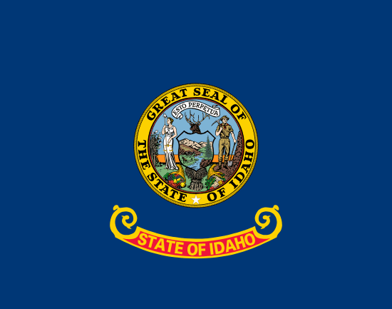
Pennsylvania (42 mi), Idaho (45 mi), and New Hampshire (58 mi) have the three shortest U.S. borders with Canada. Pennsylvania's border is entirely a Lake Erie water boundary at the state's northwest corner near the city of Erie. Idaho's 45-mile land border runs through the northern panhandle near Eastport, ID, one of the most remote official land crossings on the northern boundary.
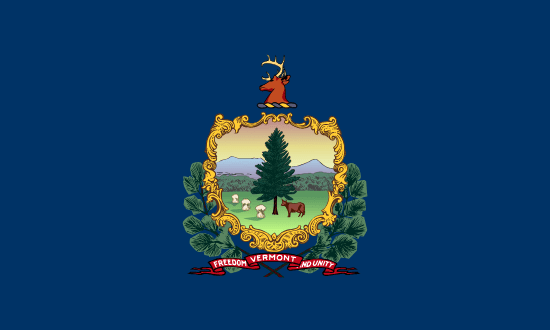
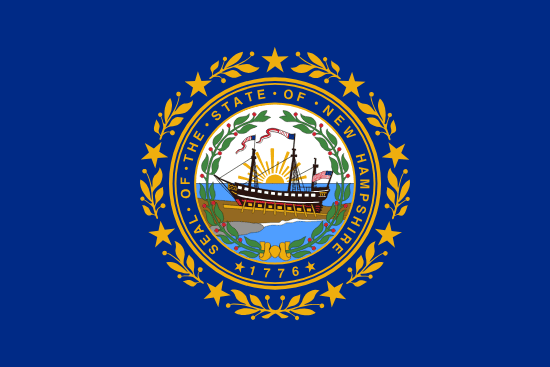
New Hampshire borders Canada for just 58 miles along Quebec's southern edge, through dense forest in the state's far north. Vermont (90 mi) ranks tenth, touching only Quebec along its northern boundary for 90 miles. Both states combined add up to 148 miles, less than a quarter of Montana's 545-mile land border.
Quick Answers
How many U.S. states border Canada?
Name one state that borders Canada
Which state has the longest border with Canada?
Which state has the shortest border with Canada?
Does Ohio border Canada?
What Canadian provinces and territories border U.S. states?
Methodology
Border lengths are drawn from International Boundary Commission surveys and U.S. Census TIGER/Line boundary data. Water borders follow the international boundary centerline through the Great Lakes and connecting waterways (St. Marys River, St. Clair River, Detroit River, Niagara River, St. Lawrence River). All figures are approximate and rounded to the nearest mile.
Sources
You Might Also Like

Serial Killers by State
Alaska has the highest serial killer rate at 0.867 per 100,000 residents. Hawaii is lowest, and California has the highest raw count at 128.

Flag of Arkansas
Arkansas had no state flag until 1913. Its white diamond marks the only diamond-producing state. A fourth star marks Confederate membership.

Flag of Arizona
Arizona's flag was sketched on an envelope in 1910 for a rifle team. Adopted in 1917, it became law without the governor's signature.

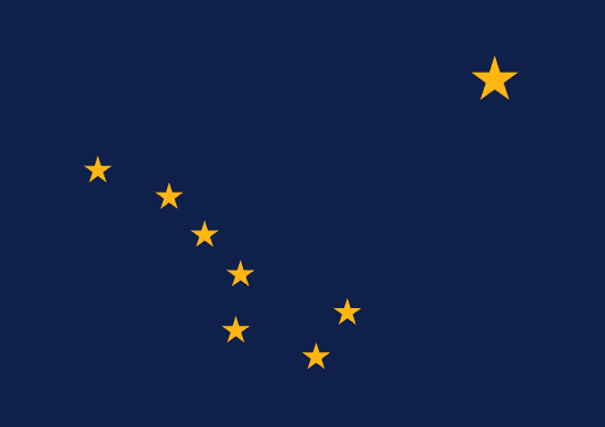
Flag of Alaska
Benny Benson designed Alaska's flag at 13. Eight gold stars on navy blue, the Big Dipper pointing to Polaris, adopted in 1927 and kept at statehood.

Alabama State Flag
Alabama's crimson cross on white was adopted in 1895, likely modeled after the Confederate Battle Flag. The state's first flag was destroyed by a storm one month after raising.

Flag of California
Brown grizzly on white, adopted in 1911, traces to settler William Todd's handmade flag raised at Sonoma on June 14, 1846.

Rainwater Harvesting Laws by State
Rainwater harvesting is legal in all 50 states. Colorado caps residential storage at 110 gallons, while Utah allows up to 2,500 gallons.

Weird Laws in Arkansas
Weird laws in Arkansas include a repealed statewide tattoo ban, a 145-year-old pronunciation law, and a Sunday car sales rule that is still enforced today.