How Many Rhode Islands Could Fit Inside Each U.S. State

How Many Rhode Islands Could Fit Inside Each U.S. State
Ranking - Geography
Quick Answer
How Many Rhode Islands Could Fit Inside Each U.S. State
-
1
Rhode Island (1,034 sq mi) is the smallest U.S. state. Alaska fits 551.9 Rhode Islands within its borders; Texas fits 253.3, and California fits 150.8.
-
2
Eight states each fit 100 or more Rhode Islands — Alaska, Texas, California, Montana, New Mexico, Arizona, Nevada, and Colorado — all west of the Mississippi. Delaware, the second-smallest state, fits just 1.9.
Map
Rhode Islands per State Map

| Rank | State | Rhode Islands |
|---|---|---|
| 1 | Alaska | 551.9 |
| 2 | Texas | 253.3 |
| 3 | California | 150.8 |
| 4 | Montana | 140.8 |
| 5 | New Mexico | 117.3 |
| 6 | Arizona | 109.9 |
| 7 | Nevada | 106.2 |
| 8 | Colorado | 100.2 |
| 9 | Wyoming | 93.9 |
| 10 | Oregon | 92.8 |
| 11 | Idaho | 79.9 |
| 12 | Utah | 79.5 |
| 13 | Kansas | 79.1 |
| 14 | Minnesota | 77 |
| 15 | Nebraska | 74.3 |
| 16 | South Dakota | 73.3 |
| 17 | North Dakota | 66.7 |
| 18 | Missouri | 66.5 |
| 19 | Oklahoma | 66.3 |
| 20 | Washington | 64.3 |
| 21 | Georgia | 55.6 |
| 22 | Michigan | 54.7 |
| 23 | Iowa | 54 |
| 24 | Illinois | 53.7 |
| 25 | Wisconsin | 52.4 |
| 26 | Florida | 51.9 |
| 27 | Arkansas | 50.3 |
| 28 | Alabama | 49 |
| 29 | North Carolina | 47 |
| 30 | New York | 45.6 |
| 31 | Mississippi | 45.4 |
| 32 | Pennsylvania | 43.3 |
| 33 | Louisiana | 41.8 |
| 34 | Tennessee | 39.9 |
| 35 | Ohio | 39.5 |
| 36 | Virginia | 38.2 |
| 37 | Kentucky | 38.2 |
| 38 | Indiana | 34.6 |
| 39 | Maine | 29.8 |
| 40 | South Carolina | 29.1 |
| 41 | West Virginia | 23.2 |
| 42 | Maryland | 9.4 |
| 43 | Vermont | 8.9 |
| 44 | New Hampshire | 8.7 |
| 45 | Massachusetts | 7.5 |
| 46 | New Jersey | 7.1 |
| 47 | Hawaii | 6.2 |
| 48 | Connecticut | 4.7 |
| 49 | Delaware | 1.9 |
Alaska can fit 551.9 Rhode Islands — more than twice as many as Texas (253.3). All eight states that fit 100 or more Rhode Islands are west of the Mississippi River.
How Many Rhode Islands Could Fit Inside Each U.S. State Table
49 entries


No matching entries
Adjust the filter to show more entries.
|
Rank
|
State
|
Rhode Islands that fit
|
Region
|
|---|---|---|---|
| 1 |
Alaska
|
552 | West |
| 2 |
Texas
|
253 | South |
| 3 |
California
|
151 | West |
| 4 |
Montana
|
141 | West |
| 5 |
New Mexico
|
117 | West |
| 6 |
Arizona
|
110 | West |
| 7 |
Nevada
|
106 | West |
| 8 |
Colorado
|
100 | West |
| 9 |
Wyoming
|
94 | West |
| 10 |
Oregon
|
93 | West |
| 11 |
Idaho
|
80 | West |
| 12 |
Utah
|
80 | West |
| 13 |
Kansas
|
79 | Midwest |
| 14 |
Minnesota
|
77 | Midwest |
| 15 |
Nebraska
|
74 | Midwest |
| 16 |
South Dakota
|
73 | Midwest |
| 17 |
North Dakota
|
67 | Midwest |
| 18 |
Missouri
|
66 | Midwest |
| 19 |
Oklahoma
|
66 | South |
| 20 |
Washington
|
64 | West |
| 21 |
Georgia
|
56 | South |
| 22 |
Michigan
|
55 | Midwest |
| 23 |
Iowa
|
54 | Midwest |
| 24 |
Illinois
|
54 | Midwest |
| 25 |
Wisconsin
|
52 | Midwest |
| 26 |
Florida
|
52 | South |
| 27 |
Arkansas
|
50 | South |
| 28 |
Alabama
|
49 | South |
| 29 |
North Carolina
|
47 | South |
| 30 |
New York
|
46 | Northeast |
| 31 |
Mississippi
|
45 | South |
| 32 |
Pennsylvania
|
43 | Northeast |
| 33 |
Louisiana
|
42 | South |
| 34 |
Tennessee
|
40 | South |
| 35 |
Ohio
|
40 | Midwest |
| 36 |
Virginia
|
38 | South |
| 37 |
Kentucky
|
38 | South |
| 38 |
Indiana
|
35 | Midwest |
| 39 |
Maine
|
30 | Northeast |
| 40 |
South Carolina
|
29 | South |
| 41 |
West Virginia
|
23 | South |
| 42 |
Maryland
|
9 | South |
| 43 |
Vermont
|
9 | Northeast |
| 44 |
New Hampshire
|
9 | Northeast |
| 45 |
Massachusetts
|
8 | Northeast |
| 46 |
New Jersey
|
7 | Northeast |
| 47 |
Hawaii
|
6 | West |
| 48 |
Connecticut
|
5 | Northeast |
| 49 |
Delaware
|
2 | South |
No matching entries
Adjust the filter to show more entries.
Download as PDF
Print-ready table — How Many Rhode Islands Could Fit Inside Each U.S. State
States Where the Most Rhode Islands Fit
Highest
Top 10 — Rhode Islands that fit
Alaska
 Texas
Texas
 California
 Montana
 New Mexico
 Arizona
 Nevada
 Colorado
 Wyoming
 Oregon
States Where the Most Rhode Islands Fit
Alaska (570,641 sq mi) fits 551.9 Rhode Islands — more than twice the 253.3 that fit in Texas. The gap between Alaska and every other state is wider here than in any other geographic comparison: Alaska is 2.18 times larger than Texas, yet most people picture the two as roughly comparable. Colorado is the only state that crosses exactly 100 Rhode Islands, fitting 100.2.
California (150.8 RI) edges out Montana (140.8 RI) despite being more than twice as populous and far more associated with cities than open land. Montana's 145,552 square miles are almost entirely undeveloped, yet California's vast interior — the Central Valley, the Mojave, the eastern Sierra Nevada foothills — outpaces it. The full U.S. states by land area ranking shows how this comparison extends across all 50 states.
| Rank | State | Rhode Islands that fit | Land area (sq mi) |
|---|---|---|---|
| 1 | Alaska | 551.9 | 570641 |
| 2 | Texas | 253.3 | 261914 |
| 3 | California | 150.8 | 155959 |
| 4 | Montana | 140.8 | 145552 |
| 5 | New Mexico | 117.3 | 121298 |
| 6 | Arizona | 109.9 | 113594 |
| 7 | Nevada | 106.2 | 109781 |
| 8 | Colorado | 100.2 | 103642 |
| 9 | Wyoming | 93.9 | 97093 |
| 10 | Oregon | 92.8 | 95988 |
States Closest in Size to Rhode Island

Delaware is the only other state with a ratio below 2.0 — it fits 1.9 Rhode Islands. Connecticut (4.7 RI) and Hawaii (6.2 RI) are the next closest. Hawaii's 6,423 square miles are spread across eight main islands, which makes the ratio feel smaller than the total distance across the archipelago suggests.
The five smallest states combined — Rhode Island, Delaware, Connecticut, New Jersey, and New Hampshire — fit 23.4 Rhode Islands total. That is almost exactly the same as West Virginia (23.2 RI) alone. Rhode Island itself has a population density higher than all but two other states, fitting more than 1 million residents into its 1,034 square miles.
| Rank | State | Rhode Islands that fit | Land area (sq mi) |
|---|---|---|---|
| 41 | West Virginia | 23.2 | 24038 |
| 42 | Maryland | 9.4 | 9707 |
| 43 | Vermont | 8.9 | 9217 |
| 44 | New Hampshire | 8.7 | 8953 |
| 45 | Massachusetts | 7.5 | 7800 |
| 46 | New Jersey | 7.1 | 7354 |
| 47 | Hawaii | 6.2 | 6423 |
| 48 | Connecticut | 4.7 | 4842 |
| 49 | Delaware | 1.9 | 1949 |
How the Rhode Island Comparison Works

The ratio divides each state's land area (in square miles, as measured by the U.S. Census Bureau) by Rhode Island's land area of 1,034 square miles. Land area counts only solid ground and excludes rivers, lakes, reservoirs, and coastal waters. The same source and exclusion rule applies to all 50 states, so the ratios are directly comparable. Using total area instead of land area would change results slightly for water-heavy states like Michigan and Florida.
Rhode Island is frequently used as a size reference in U.S. geography because it is the smallest and most widely recognized benchmark. The states-by-land-area ranking shows all 50 states ranked by raw land area, and the compare-states tool lets you set any two states side by side with population and density context.
Quick Answers
How many Rhode Islands fit in Alaska?
How many Rhode Islands fit in Texas?
How many Rhode Islands fit in California?
What state fits the fewest Rhode Islands besides Rhode Island itself?
How many Rhode Islands fit in the entire United States?
How big is Rhode Island compared to other states?
Methodology
Rhode Islands per state = state land area (sq mi) divided by Rhode Island land area (1,034 sq mi). Land area from U.S. Census Bureau Gazetteer Files; water excluded throughout.
Sources
Build A Comparison
Compare State Sizes
Choose two states and see how their land area stacks up.
You Might Also Like

Serial Killers by State
Alaska has the highest serial killer rate at 0.867 per 100,000 residents. Hawaii is lowest, and California has the highest raw count at 128.

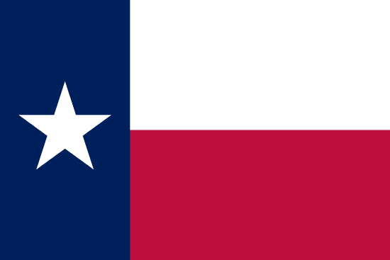
Flag of Arkansas
Arkansas had no state flag until 1913. Its white diamond marks the only diamond-producing state. A fourth star marks Confederate membership.

Flag of Arizona
Arizona's flag was sketched on an envelope in 1910 for a rifle team. Adopted in 1917, it became law without the governor's signature.

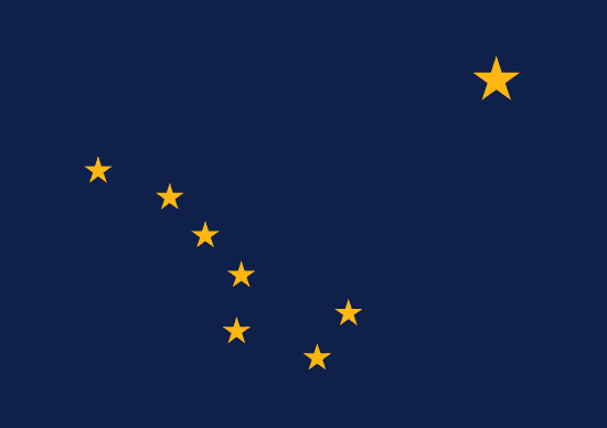
Flag of Alaska
Benny Benson designed Alaska's flag at 13. Eight gold stars on navy blue, the Big Dipper pointing to Polaris, adopted in 1927 and kept at statehood.

Alabama State Flag
Alabama's crimson cross on white was adopted in 1895, likely modeled after the Confederate Battle Flag. The state's first flag was destroyed by a storm one month after raising.

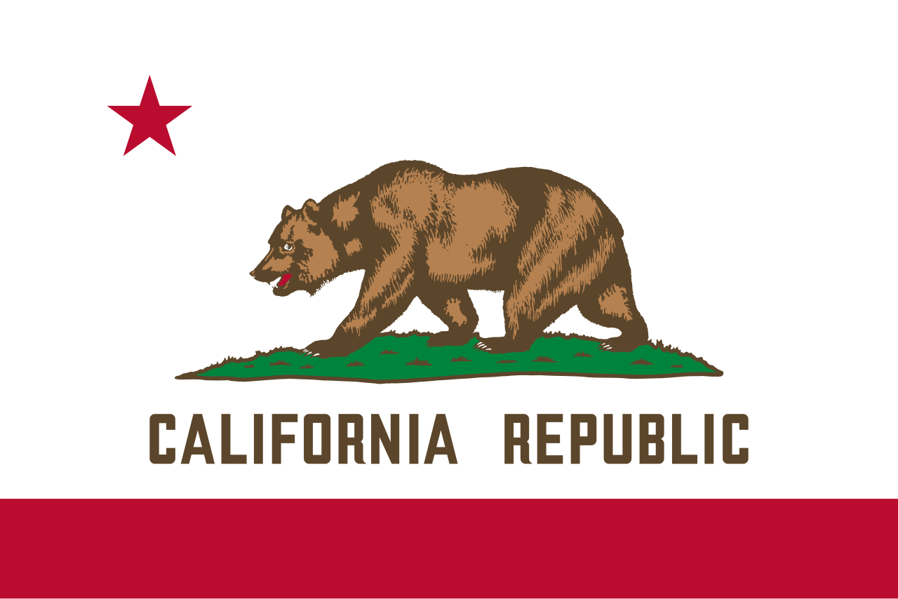
Flag of California
Brown grizzly on white, adopted in 1911, traces to settler William Todd's handmade flag raised at Sonoma on June 14, 1846.

Rainwater Harvesting Laws by State
Rainwater harvesting is legal in all 50 states. Colorado caps residential storage at 110 gallons, while Utah allows up to 2,500 gallons.

Weird Laws in Arkansas
Weird laws in Arkansas include a repealed statewide tattoo ban, a 145-year-old pronunciation law, and a Sunday car sales rule that is still enforced today.