What States Border Washington
Washington borders two U.S. states: Idaho to the east and Oregon to the south. Washington also shares an international border with Canada's British Columbia province to the north. The Pacific Ocean forms Washington's entire western coastline. The Columbia River creates most of the southern boundary with Oregon, making it one of the most significant river borders in the American West.
- Bordering States
- 2
- International
- Canada (British Columbia)
- Water Border
- Pacific Ocean
- Access
- Coast or water access
Washington State Border Map
Map showing Washington's boundaries with two states, British Columbia, the Columbia River, and the Pacific Ocean.
Map showing Washington's boundaries with two states, British Columbia, the Columbia River, and the Pacific Ocean.
Border Details
Explore each of Washington's borders in detail. Click any card to learn more.
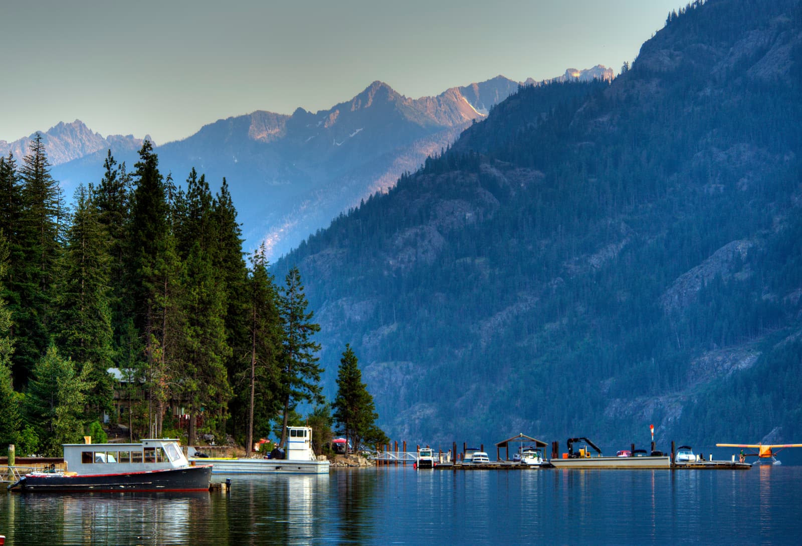
North Cascades National Park
British Columbia
British Columbia, Canada borders Washington's northern edge along the 49th parallel.
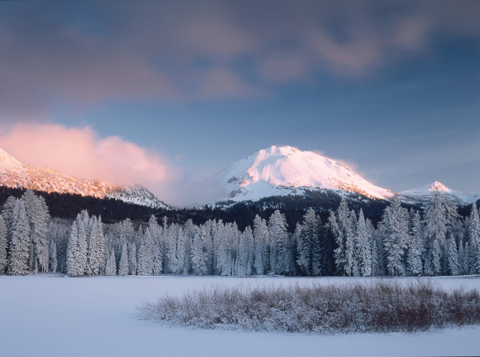
Lassen Volcanic National Park
Idaho
Idaho forms Washington's eastern border along a straight north-south line.
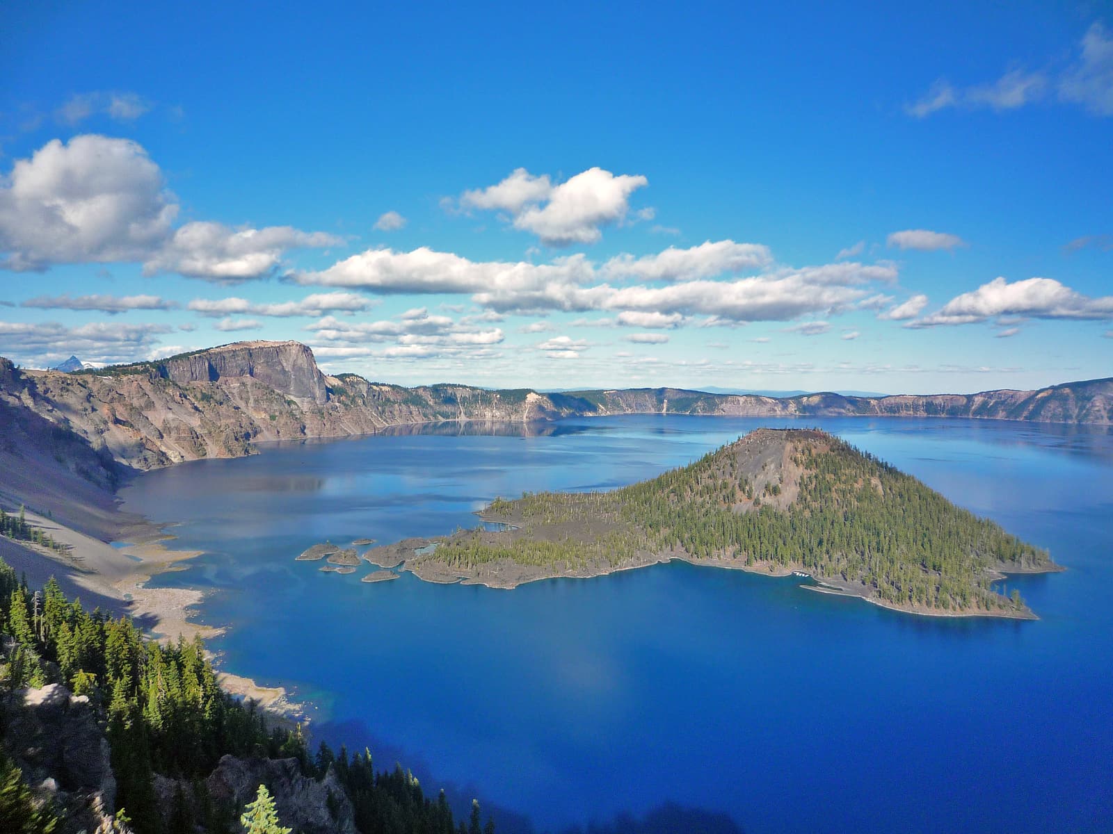
Crater Lake National Park
Oregon
The Columbia River creates most of Washington's southern border with Oregon.
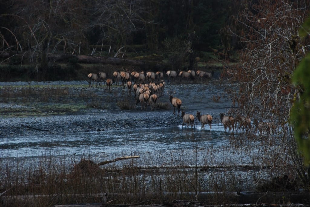
Olympic National Park
Pacific Ocean
Washington has about 157 miles of Pacific coastline with rugged beaches and harbors.
Which States Border Washington?
Washington shares borders with only two U.S. states: Idaho to the east and Oregon to the south. This makes Washington one of the states with fewer neighbors. The Columbia River forms most of the Oregon border, while a straight surveyed line marks the Idaho boundary.
East: Idaho
Lassen Volcanic National Park
Idaho and Washington share a border along Washington's eastern edge. The boundary follows a straight north-south line along a surveyed meridian through mountainous terrain.
The Washington-Idaho border runs for about 270 miles from British Columbia in the north to Oregon in the south. The border follows a meridian line surveyed in the 1800s. Washington counties along this border include Pend Oreille, Stevens, Spokane, Whitman, and Asotin. The border crosses through the Selkirk Mountains in the north, the Palouse prairie region in the south, and forested areas in between. Spokane, Washington's second-largest city, sits about 18 miles from the Idaho border.
- About 270 miles north-south
- Straight surveyed meridian line
- Spokane 18 miles from border
South: Oregon (Columbia River Border)
Crater Lake National Park
Oregon and Washington are separated primarily by the Columbia River along Washington's southern edge. This mighty river creates one of the most important boundaries in the Pacific Northwest.
The Washington-Oregon border follows the Columbia River for about 300 miles from Idaho in the east to the Pacific Ocean in the west. The river carved the Columbia River Gorge through the Cascade Mountains, creating one of the most scenic river canyons in North America. A small land border exists in the far southwest corner. Washington counties along this border include Asotin, Garfield, Columbia, Walla Walla, Benton, Klickitat, Skamania, Clark, and Cowlitz. The Tri-Cities area (Kennewick, Pasco, Richland) sits on the Columbia in Washington. Vancouver, Washington sits across the river from Portland, Oregon in the west.
- About 300 miles along Columbia River
- Columbia River Gorge through Cascades
- Vancouver, WA across from Portland, OR
International Border with Canada
Washington shares about 425 miles of international border with Canada's British Columbia province to the north. This makes Washington one of the northernmost states in the continental United States and the only one on the West Coast that borders Canada.
North: British Columbia, Canada
North Cascades National Park
British Columbia and Washington are separated by an international border along Washington's northern edge. The boundary runs east-west across the top of the state, following the 49th parallel north latitude for most of its length.
The Washington-British Columbia border extends for about 425 miles from the Pacific Ocean in the west to Idaho in the east. The border was established by the Oregon Treaty of 1846, which set the U.S.-Canada boundary at the 49th parallel from the Rocky Mountains to the Strait of Georgia. Washington counties along this border include Whatcom, Okanogan, Ferry, Pend Oreille, and the San Juan Islands. Vancouver, British Columbia (not to be confused with Vancouver, Washington) is a major Canadian city near this border. Blaine, Washington sits directly on the border crossing at Peace Arch. The border crosses through mountains, forests, farmland, and water passages including the Strait of Georgia.
- About 425 miles along 49th parallel
- Established by Oregon Treaty of 1846
- Peace Arch at Blaine border crossing
Pacific Ocean Coastline
The Pacific Ocean borders Washington's entire western edge, providing about 157 miles of rugged coastline. Washington's Pacific coast is known for dramatic rocky shores, dense forests reaching to the sea, and some of the most pristine coastal wilderness in the lower 48 states.
West: Pacific Ocean
Olympic National Park
The Pacific Ocean forms Washington's western boundary from British Columbia in the north to Oregon in the south. Washington's coast is less developed than California's or Oregon's southern coast, with much protected as Olympic National Park.
Washington's Pacific coastline stretches about 157 miles of general shoreline. The coast includes sea stacks, tide pools, sandy beaches, and temperate rainforest. Washington counties with Pacific coastline include Clallam, Jefferson, Grays Harbor, and Pacific. The Olympic Peninsula dominates the northwestern coast. Major features include the Strait of Juan de Fuca (connecting the Pacific to Puget Sound), Cape Flattery (the northwesternmost point in the continental U.S.), and Long Beach Peninsula. The Columbia River empties into the Pacific at the Washington-Oregon border.
- About 157 miles of coastline
- Olympic Peninsula and Olympic National Park
- Cape Flattery: northwesternmost point in lower 48
Puget Sound: Washington's Inland Sea
Puget Sound is a complex system of interconnected marine waterways in northwestern Washington. While not a state border, this inland sea defines much of Washington's geography and is crucial to understanding the state's layout. Puget Sound extends about 100 miles south from the Strait of Juan de Fuca, creating deep harbors and protected waters. The sound connects to the Pacific Ocean through the Strait of Juan de Fuca between Washington and Vancouver Island, British Columbia. Seattle, Washington's largest city, sits on Puget Sound's eastern shore. Tacoma, Everett, and Olympia (the state capital) also developed along the sound. The region's population concentrates around Puget Sound, making it the heart of Washington state. The sound's protected waters have been crucial for shipping, naval operations, and the region's economy since American settlement.
Columbia River: Oregon Border
The Columbia River forms about 300 miles of Washington's southern border with Oregon, making it one of the most significant river boundaries in the United States. This is the largest river in the Pacific Northwest and the fourth-largest in the nation by volume. The Columbia begins in British Columbia, flows through Washington, then turns west to form the Washington-Oregon border before emptying into the Pacific. The river carved the Columbia River Gorge, where it cuts through the Cascade Mountains in a dramatic canyon up to 4,000 feet deep. Lewis and Clark followed the Columbia to reach the Pacific Ocean in 1805. Today, multiple dams on the Columbia provide hydroelectric power and enable barge navigation far inland. The river has been essential for salmon fishing, though dams have impacted fish populations. Cities on both sides of the river are economically linked despite being in different states.
Key Facts & Statistics
This table shows every border Washington shares, organized by direction and type.
Washington borders only two U.S. states—Idaho and Oregon
Frequently Asked Questions
What states border Washington?
What borders Washington?
What country borders Washington?
What ocean borders Washington?
What state borders Washington to the east?
What state borders Washington to the south?
What river borders Washington and Oregon?
What Canadian city borders Washington?
Sources & References
This article has been researched using authoritative sources to ensure accuracy and reliability.
Washington-Canada border details
Columbia River geography and boundary information