What States Border Ohio
Ohio borders five states: Michigan to the north, Pennsylvania to the east, West Virginia to the southeast, Kentucky to the south, and Indiana to the west. Lake Erie forms Ohio's northern boundary, giving the state access to the Great Lakes system. The Ohio River creates the entire southern and southeastern border with West Virginia and Kentucky.
- Bordering States
- 5
- International
- None
- Water Border
- Lake Erie
- Access
- Coast or water access
Ohio Border Map
Map showing Ohio's boundaries with five states, Lake Erie, and the Ohio River.
Map showing Ohio's boundaries with five states, Lake Erie, and the Ohio River.
Border Details
Explore each of Ohio's borders in detail. Click any card to learn more.
Isle Royale National Park
Michigan
Michigan borders Ohio to the north, with Lake Erie separating most of the boundary.
Shenandoah National Park
Pennsylvania
Pennsylvania forms Ohio's eastern border along a straight north-south line.
New River Gorge National Park
West Virginia
The Ohio River creates the border between Ohio and West Virginia.
Mammoth Cave National Park
Kentucky
The Ohio River forms the entire border with Kentucky.
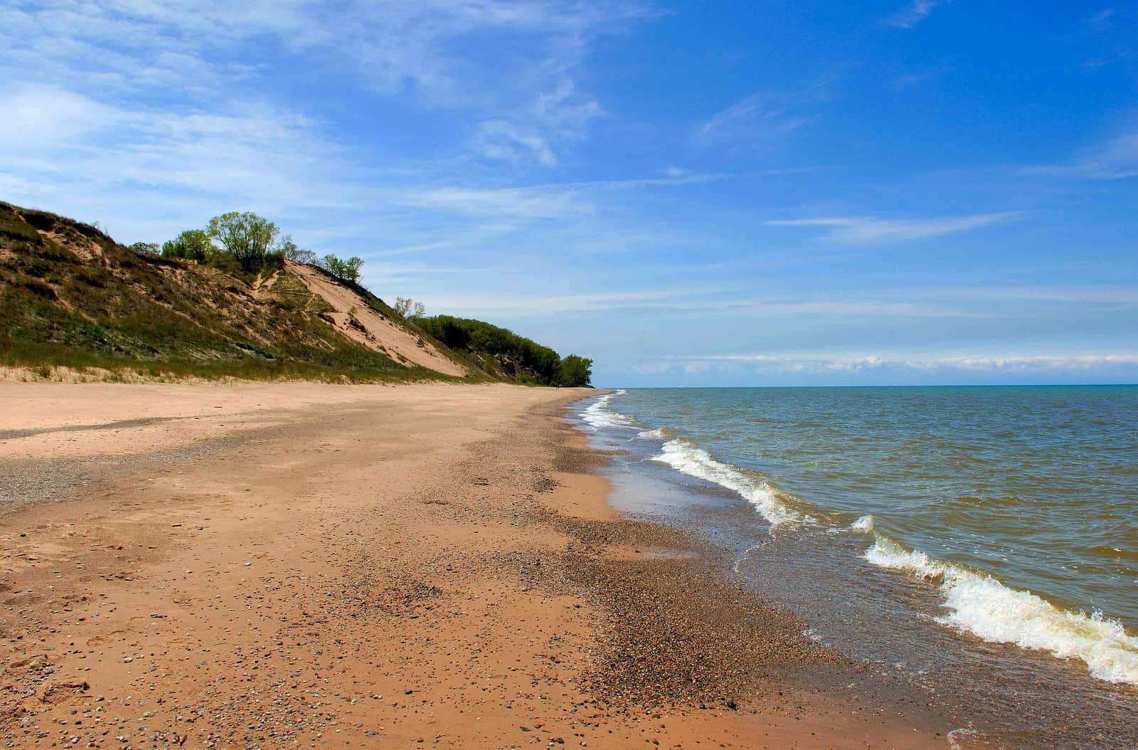
Indiana Dunes National Park
Indiana
Indiana borders Ohio along a straight north-south line in the west.
Katmai National Park
Lake Erie
Lake Erie provides Ohio with about 312 miles of Great Lakes shoreline.
Which States Border Ohio?
Five states share borders with Ohio: Michigan to the north, Pennsylvania to the east, West Virginia to the southeast, Kentucky to the south, and Indiana to the west. Rivers and Lake Erie form much of these boundaries.
North: Michigan
Isle Royale National Park
Michigan and Ohio share a border on Ohio's northern edge. Most of this boundary runs through Lake Erie, separating the two states by water. A small land border exists in the northwest corner near Toledo.
The Ohio-Michigan border stretches about 60 miles across the northern part of the state. Lake Erie creates a natural water boundary for most of this distance. Ohio counties along this border include Lucas, Ottawa, Sandusky, Erie, and Ashtabula. The land portion of the border in the northwest was once disputed in the Toledo War of 1835-36, which Michigan ultimately lost.
- About 60 miles, mostly through Lake Erie
- Small land border near Toledo
- Ohio counties: Lucas, Ottawa, Sandusky, Erie, Ashtabula
East: Pennsylvania
Shenandoah National Park
Pennsylvania borders Ohio on the eastern side. The boundary follows a straight north-south line from Lake Erie down to the Ohio River.
The Ohio-Pennsylvania border runs for about 90 miles. This straight-line border was surveyed in the late 1700s and early 1800s. Ohio counties along this border include Ashtabula, Trumbull, Mahoning, Columbiana, and Jefferson. Major cities near this border include Youngstown in Ohio and Erie in Pennsylvania.
- About 90 miles, straight north-south
- Surveyed boundary from 1700s-1800s
- Ohio counties: Ashtabula, Trumbull, Mahoning, Columbiana, Jefferson
South-East: West Virginia (Ohio River Border)
New River Gorge National Park
West Virginia and Ohio are separated entirely by the Ohio River on Ohio's southeastern edge. The river winds along this boundary, creating one of the most recognizable borders in the eastern United States.
The Ohio-West Virginia border follows the Ohio River for about 260 miles. The entire border is a water boundary with no land connection between the states. Ohio counties along this border include Jefferson, Belmont, Monroe, Washington, Athens, Meigs, and Gallia. The Parkersburg-Marietta area sits along this river border.
- About 260 miles along Ohio River
- Entire border is water
- Ohio counties: Jefferson, Belmont, Monroe, Washington, Athens, Meigs, Gallia
South: Kentucky (Ohio River Border)
Mammoth Cave National Park
Kentucky borders Ohio to the south, with the Ohio River forming the complete boundary. This river border stretches across the entire southern edge of the state.
The Ohio-Kentucky border runs along the Ohio River for about 190 miles from West Virginia in the east to Indiana in the west. Like the West Virginia border, this is entirely a water boundary. Ohio counties along this border include Lawrence, Scioto, Adams, Brown, Clermont, and Hamilton. Cincinnati sits right on this border, directly across from northern Kentucky cities like Covington and Newport.
- About 190 miles along Ohio River
- Complete water boundary
- Cincinnati sits on the border
West: Indiana
Indiana Dunes National Park
Indiana forms Ohio's western border along a straight north-south line. This boundary runs from Lake Michigan in the far northwest down to the Ohio River in the south.
The Ohio-Indiana border extends for about 175 miles. The straight-line border was established when Ohio became a state in 1803. Ohio counties along this border include Williams, Defiance, Paulding, Van Wert, Mercer, Darke, Preble, and Butler. The border passes through mostly flat agricultural land.
- About 175 miles, straight north-south
- Established when Ohio became state in 1803
- Ohio counties: Williams, Defiance, Paulding, Van Wert, Mercer, Darke, Preble, Butler
Lake Erie: Ohio's Great Lake
Lake Erie borders Ohio's entire northern edge, providing about 312 miles of shoreline. This makes Ohio one of eight states with Great Lakes access and gives the state important shipping routes and water resources.
North: Lake Erie
Katmai National Park
Lake Erie forms Ohio's northern boundary from Indiana in the west to Pennsylvania in the east. The lake has shaped Ohio's economy and geography for centuries.
Ohio's Lake Erie coastline stretches about 312 miles including islands and bays. Major cities on this shoreline include Toledo, Sandusky, Lorain, and Cleveland. Ohio counties with Erie shoreline include Lucas, Ottawa, Sandusky, Erie, Lorain, and Cuyahoga. The Bass Islands and other Ohio islands in Lake Erie extend the state's water territory. Cleveland sits on the lake's southern shore and was historically a major port city.
- About 312 miles of shoreline
- Major cities: Toledo, Cleveland, Sandusky
- Counties: Lucas, Ottawa, Sandusky, Erie, Lorain, Cuyahoga
The Ohio River: Natural Southern Border
The Ohio River creates Ohio's entire southern boundary with both West Virginia and Kentucky. This 450-mile water border is one of the longest river boundaries between states in America. The river was named after the state, though technically the state took its name from the Iroquois word meaning 'great river.' The Ohio River has been a transportation corridor for centuries, first for Native Americans, then for settlers moving west, and today for commercial barges carrying goods across the region.
Key Facts & Statistics
This table shows every border Ohio shares, organized by direction and type.
Ohio borders exactly five U.S. states
Frequently Asked Questions
What states border Ohio?
What borders Ohio?
How many states border Ohio?
What great lake borders Ohio?
Which state borders Ohio to the west?
What lake borders Cleveland Ohio?
What body of water borders Ohio to the north?
Ohio River borders what states?
Sources & References
This article has been researched using authoritative sources to ensure accuracy and reliability.
Geographic features, river boundaries, and topographic data
Great Lakes coastline data