What States Border Minnesota
Minnesota borders four U.S. states: Wisconsin to the east, Iowa to the south, South Dakota to the west, and North Dakota to the northwest. The state also shares international borders with two Canadian provinces—Manitoba to the north and Ontario to the northeast. Lake Superior borders Minnesota's northeastern coast.
- Bordering States
- 4
- International
- Canada
- Water Border
- Lake Superior
- Access
- Coast or water access
Minnesota Border Map
Map showing Minnesota's boundaries with four states, two Canadian provinces, and Lake Superior.
Map showing Minnesota's boundaries with four states, two Canadian provinces, and Lake Superior.
Border Details
Explore each of Minnesota's borders in detail. Click any card to learn more.
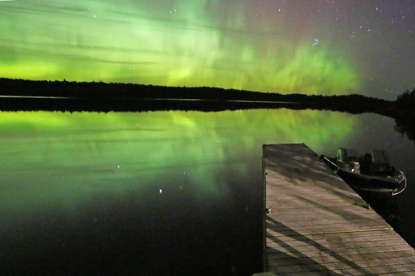
Voyageurs National Park
Manitoba
Manitoba borders Minnesota's northern edge along the 49th parallel.
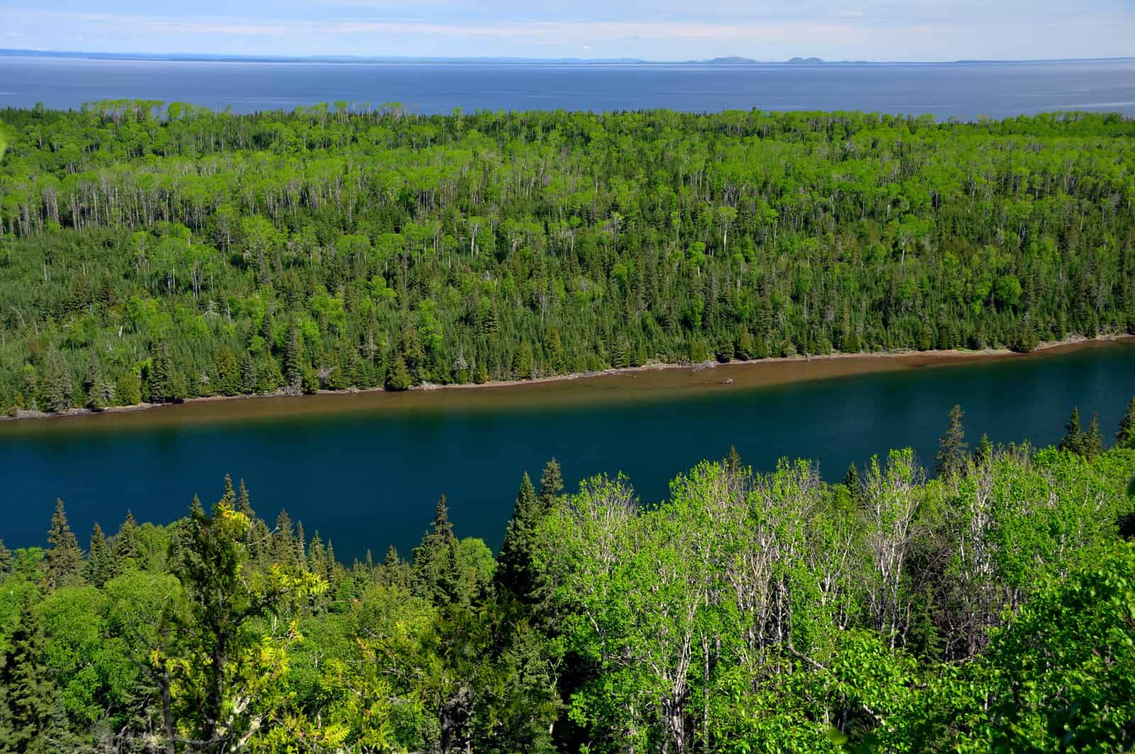
Isle Royale National Park
Ontario
Ontario borders Minnesota across water boundaries in the northeast.
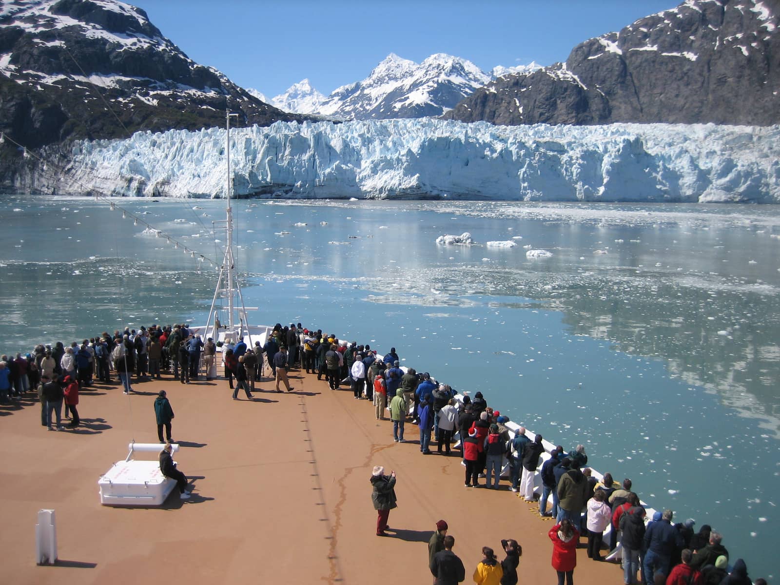
Glacier Bay National Park
Wisconsin
The Mississippi and St. Croix Rivers form most of Minnesota's border with Wisconsin.
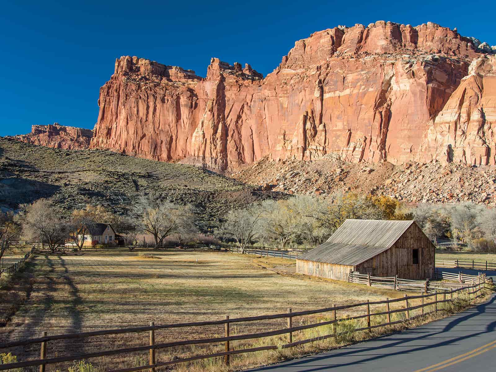
Capitol Reef National Park
Iowa
Iowa borders Minnesota along the 43rd parallel.
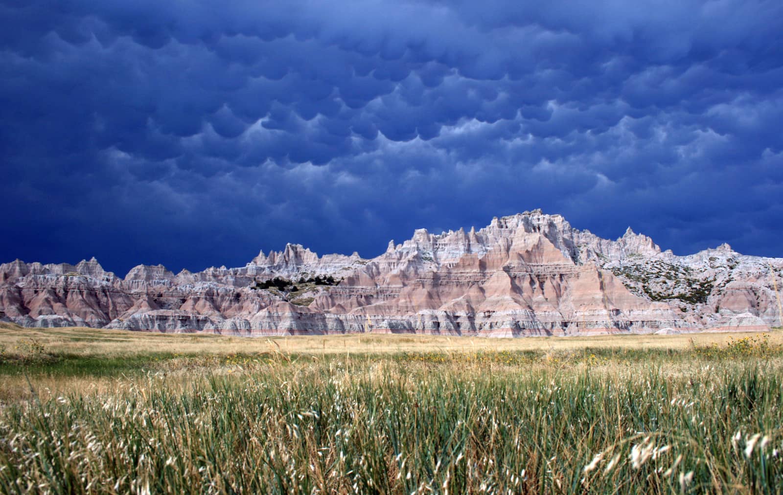
Badlands National Park
South Dakota
South Dakota borders Minnesota's western edge with the Big Sioux River in the south.
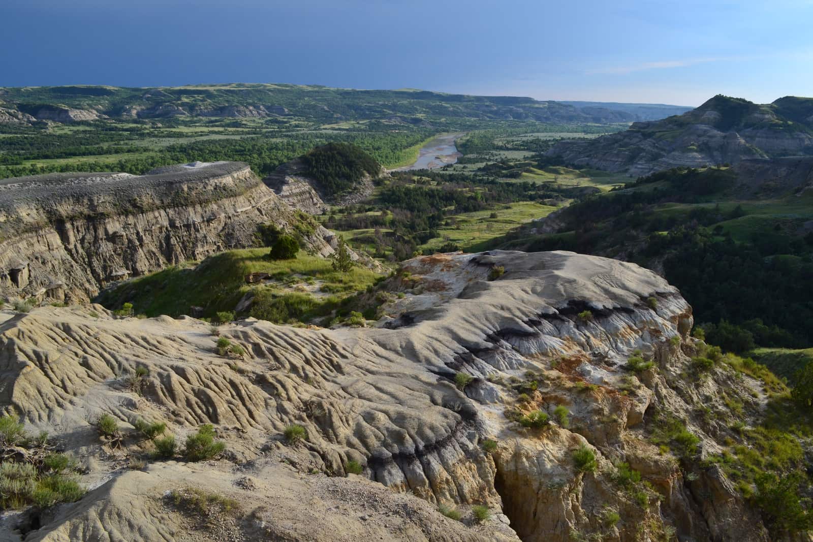
Theodore Roosevelt National Park
North Dakota
The Red River forms Minnesota's border with North Dakota.
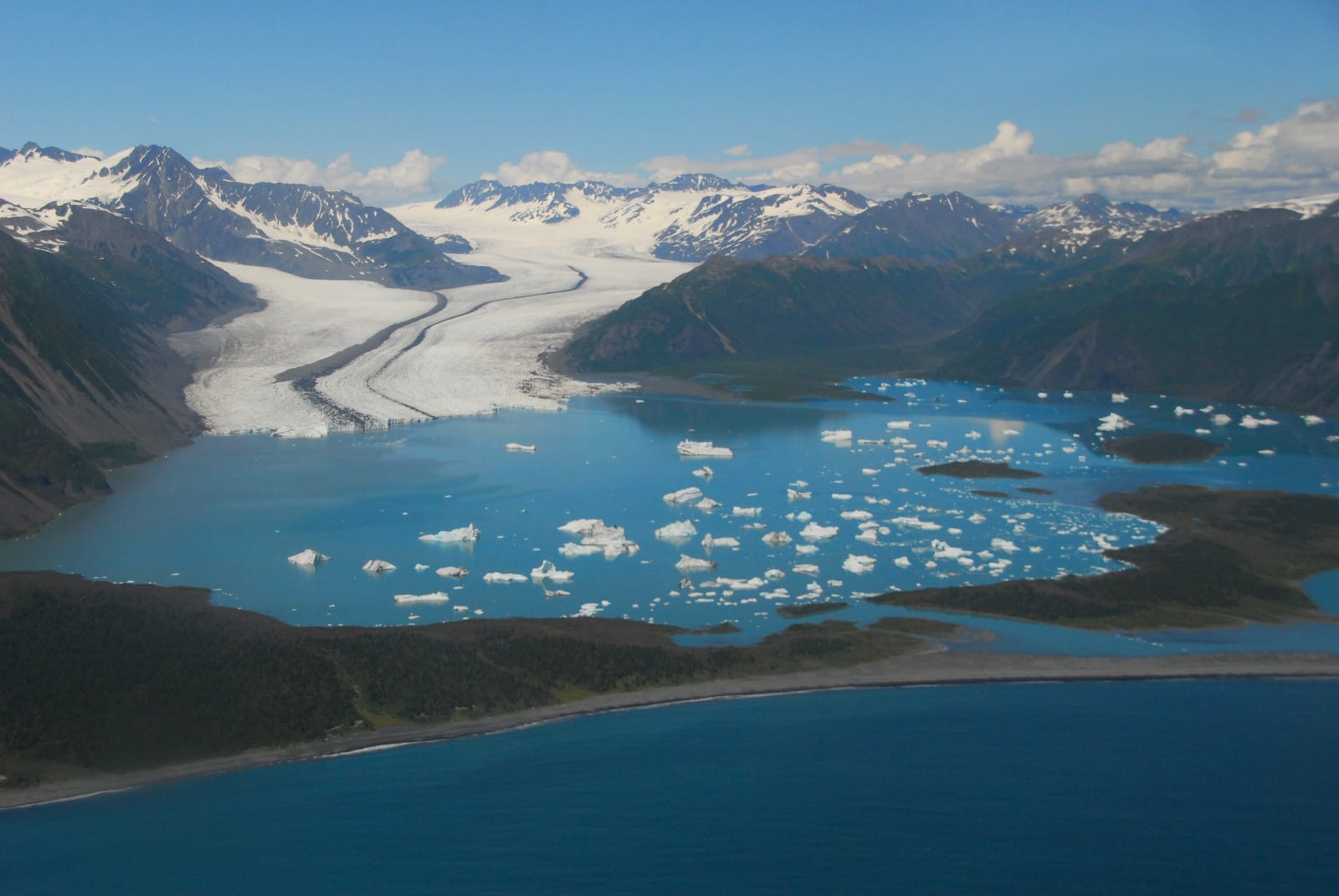
Kenai Fjords National Park
Lake Superior
Lake Superior borders Minnesota's northeastern coast for about 189 miles.
Which States Border Minnesota?
Minnesota shares its borders with four U.S. states: Wisconsin to the east, Iowa to the south, South Dakota to the west, and North Dakota to the northwest. Rivers form most of Minnesota's state borders, making it one of the most water-defined states in the country.
East: Wisconsin (Mississippi and St. Croix Rivers)
Glacier Bay National Park
Wisconsin and Minnesota are separated by a border located on Minnesota's eastern edge. The Mississippi River forms the southern portion of this boundary, while the St. Croix River creates the northern section.
The Minnesota-Wisconsin border extends for about 260 miles. The St. Croix River forms the border in the north, then the Mississippi River takes over in the south, flowing down to Iowa. Minnesota counties along this border include Houston, Winona, Wabasha, Goodhue, Pierce, St. Croix, Polk, and others. Major cities near this border include Minneapolis-St. Paul (the Twin Cities) and Duluth.
- About 260 miles total
- St. Croix River in north, Mississippi River in south
- Twin Cities region near border
South: Iowa
Capitol Reef National Park
Iowa and Minnesota are separated by a border located on Minnesota's southern edge. The state line follows the 43rd parallel north latitude, creating a straight east-west boundary across the bottom of Minnesota.
The Minnesota-Iowa border extends for about 260 miles from South Dakota in the west to Wisconsin and the Mississippi River in the east. Minnesota counties along this border include Rock, Nobles, Jackson, Martin, Faribault, Freeborn, Mower, and Fillmore.
- About 260 miles along 43rd parallel
- Straight east-west line
- Minnesota counties: Rock, Nobles, Jackson, Martin, Faribault, Freeborn, Mower, Fillmore
West: South Dakota
Badlands National Park
South Dakota and Minnesota are separated by a border located on Minnesota's western edge. The Big Sioux River forms the southern portion of this boundary, while a land border continues north.
The Minnesota-South Dakota border extends for about 280 miles from Iowa in the south to North Dakota in the north. The Big Sioux River creates a natural water border in the southern section. Minnesota counties along this border include Rock, Pipestone, Murray, Cottonwood, Lincoln, Lyon, Yellow Medicine, Lac qui Parle, Big Stone, and Traverse.
- About 280 miles north-south
- Big Sioux River in south, land border in north
- Western edge of Minnesota
North-West: North Dakota (Red River Border)
Theodore Roosevelt National Park
North Dakota and Minnesota are separated entirely by the Red River along Minnesota's northwestern edge. The river creates a natural boundary running roughly north-south.
The Minnesota-North Dakota border extends for about 310 miles along the Red River from South Dakota in the south to Manitoba, Canada in the north. The Red River flows northward (unusually) into Canada. Minnesota counties along this border include Traverse, Big Stone, Wilkin, Clay, Norman, Polk, Marshall, Pennington, Red Lake, and Kittson. Major cities on this border include Fargo, North Dakota and Moorhead, Minnesota.
- About 310 miles along Red River
- Entire border formed by river
- Major cities: Fargo (ND), Moorhead (MN)
International Borders with Canada
Minnesota shares international borders with two Canadian provinces: Manitoba to the north and Ontario to the northeast. These borders total about 550 miles, making Minnesota one of the northern border states.
North: Manitoba, Canada
Voyageurs National Park
Manitoba and Minnesota are separated by a border located on Minnesota's northern edge. The boundary follows the 49th parallel north latitude, the same line that forms much of the U.S.-Canada border across the western states.
The Minnesota-Manitoba border extends for about 310 miles from North Dakota in the west to Ontario in the east. The border runs along the 49th parallel through forests, lakes, and prairie regions. Minnesota counties along this border include Kittson, Roseau, Lake of the Woods, and parts of others. The Northwest Angle, a unique geographic anomaly, is the northernmost point in the contiguous United States and is only accessible by land through Canada.
- About 310 miles along 49th parallel
- Includes the Northwest Angle
- Northernmost point of contiguous U.S.
North-East: Ontario, Canada
Isle Royale National Park
Ontario and Minnesota are separated by water borders in Minnesota's northeastern region. The boundary runs through several waterways including Rainy Lake, Lake of the Woods, and approaches Lake Superior.
The Minnesota-Ontario border extends for about 240 miles through various lakes and rivers. The border includes portions of Rainy Lake, Lake of the Woods, and other water bodies in the Boundary Waters region. Only a few Minnesota counties touch this border, including Lake, Cook, and Lake of the Woods. The Boundary Waters Canoe Area Wilderness sits along this border.
- About 240 miles through water bodies
- Rainy Lake, Lake of the Woods region
- Boundary Waters Canoe Area
Lake Superior: Minnesota's Great Lake Border
Lake Superior borders Minnesota's northeastern coast for about 189 miles, making Minnesota one of the eight U.S. states that border the Great Lakes. This is Minnesota's only Great Lake border and provides access to the Great Lakes shipping system.
North-East: Lake Superior
Kenai Fjords National Park
Lake Superior forms Minnesota's northeastern boundary, creating a dramatic rocky coastline along the state's North Shore. The lake stretches from near the Canadian border southwest to Wisconsin.
Minnesota's Lake Superior coastline extends for about 189 miles. The North Shore is known for its rugged cliffs, waterfalls, and scenic beauty. Only two Minnesota counties have Lake Superior shoreline: Cook and St. Louis. Major cities on this coast include Duluth, the largest city on Lake Superior and a major Great Lakes port. The lake provides Minnesota with shipping access to the Atlantic Ocean via the Great Lakes and St. Lawrence Seaway.
- About 189 miles of coastline
- Rugged North Shore region
- Duluth: major Great Lakes port
The Northwest Angle: America's Northernmost Point
The Northwest Angle is a unique geographic anomaly that makes Minnesota home to the northernmost point in the contiguous United States. This small peninsula extends north of the 49th parallel into Lake of the Woods and is separated from the rest of Minnesota by water. Due to a surveying error in the 1783 Treaty of Paris, this 123-square-mile area became part of the United States even though it extends north of the main U.S.-Canada border. The Northwest Angle can only be reached by land by driving through Canada, making it one of the most isolated parts of the lower 48 states.
Land of 10,000 Lakes and Water Borders
Minnesota is known as the 'Land of 10,000 Lakes,' though it actually has 11,842 lakes larger than 10 acres. This abundance of water extends to Minnesota's borders, where rivers and lakes form most of the state's boundaries. The Mississippi River, St. Croix River, Big Sioux River, Red River, and Lake Superior all create portions of Minnesota's borders. Additionally, the border with Canada runs through numerous lakes. This makes Minnesota one of the most water-defined states in the U.S., with water forming approximately 60% of its total border length.
Key Facts & Statistics
This table shows every border Minnesota shares, organized by direction and type.
Minnesota borders exactly four U.S. states
Frequently Asked Questions
What borders Minnesota?
What state borders Minnesota?
What state borders Minnesota to the east?
What state borders Minnesota to the south?
What country borders Minnesota?
What Canadian province borders Minnesota?
What great lake borders Minnesota?
What body of water borders Minnesota?
Which state borders both Minnesota and Michigan?
Sources & References
This article has been researched using authoritative sources to ensure accuracy and reliability.
Geographic features, river boundaries, and topographic data
Minnesota-Canada border details