What States Border Kentucky
Kentucky borders seven states: Illinois, Indiana, and Ohio to the north, West Virginia and Virginia to the east, Tennessee to the south, and Missouri to the west. The Ohio River forms Kentucky's entire northern border, making it one of the longest single-river state boundaries in the United States.
- Bordering States
- 7
- International
- None
- Water Border
- None
- Access
- Landlocked
Kentucky Border Map
Map showing Kentucky's boundaries with seven neighboring states and the Ohio River.
Map showing Kentucky's boundaries with seven neighboring states and the Ohio River.
Border Details
Explore each of Kentucky's borders in detail. Click any card to learn more.
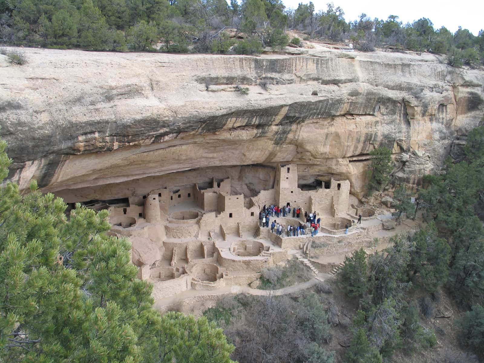
Mesa Verde National Park
Illinois
The Ohio River forms Kentucky's entire border with Illinois along the northwest.
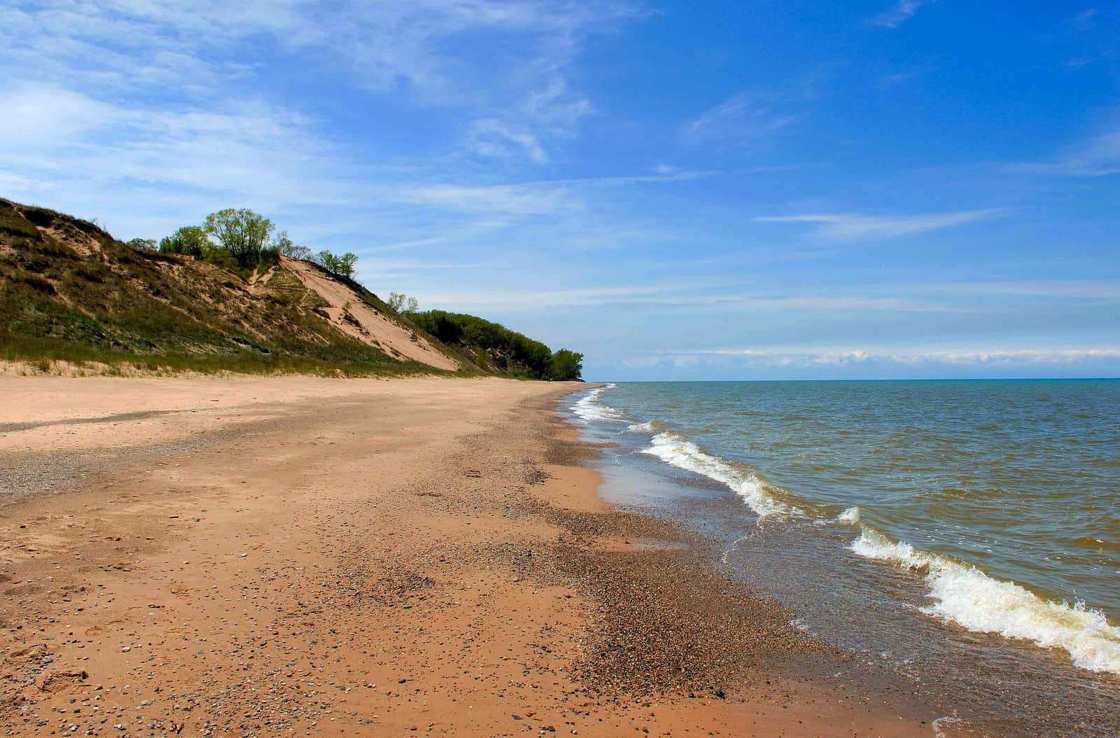
Indiana Dunes National Park
Indiana
The Ohio River forms Kentucky's entire northern border with Indiana.
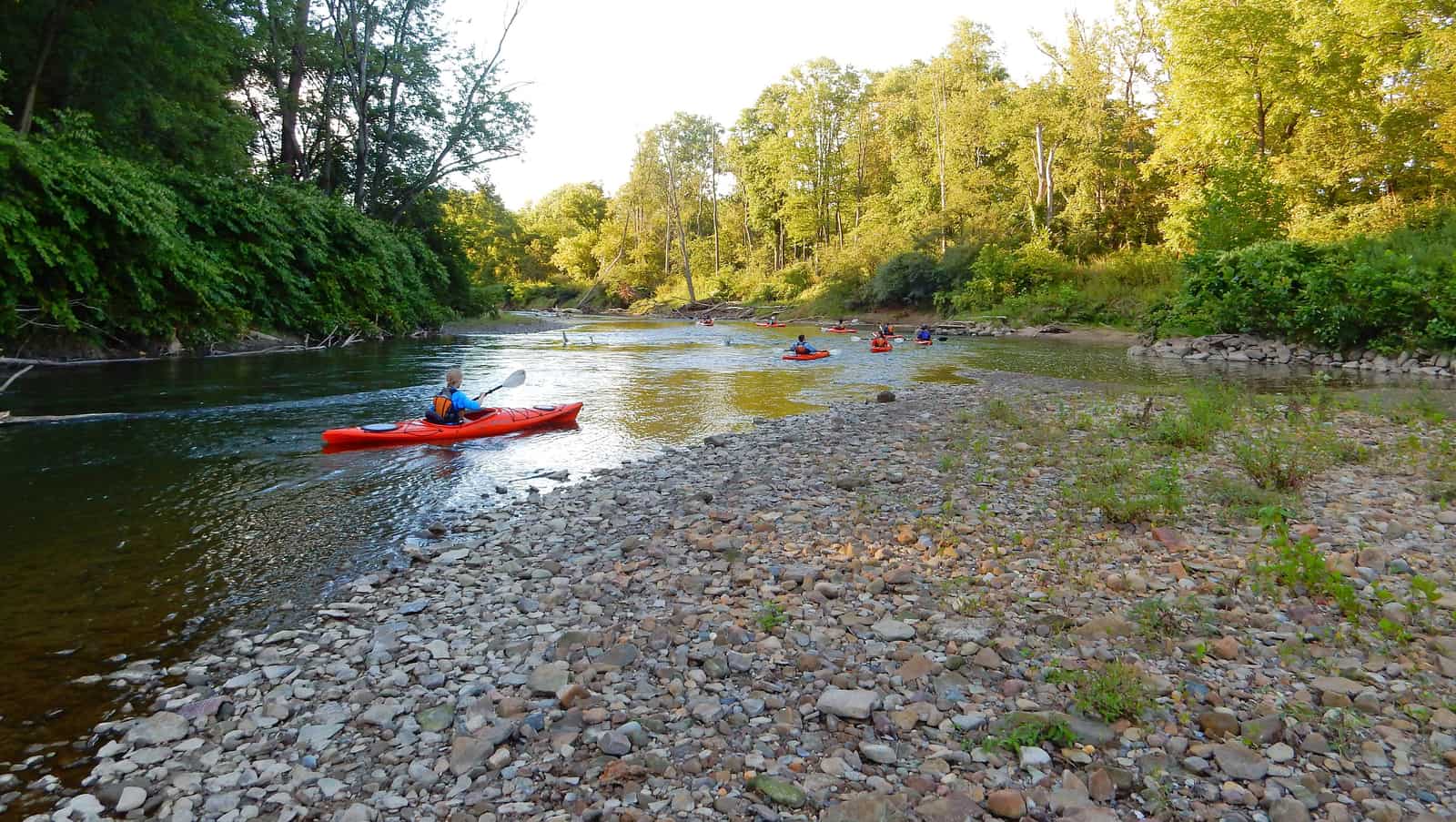
Cuyahoga Valley National Park
Ohio
The Ohio River forms Kentucky's border with Ohio, one of the most historically significant borders in the eastern United States.
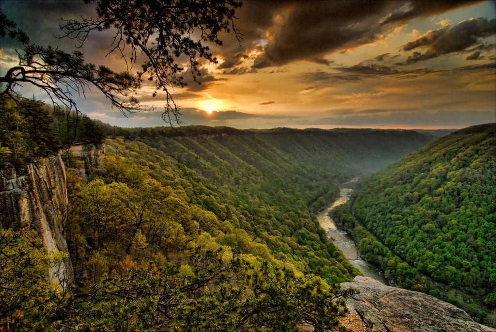
New River Gorge National Park
West Virginia
Kentucky and West Virginia share a rugged Appalachian border defined by the Big Sandy River, Tug Fork, and mountain ridgelines.
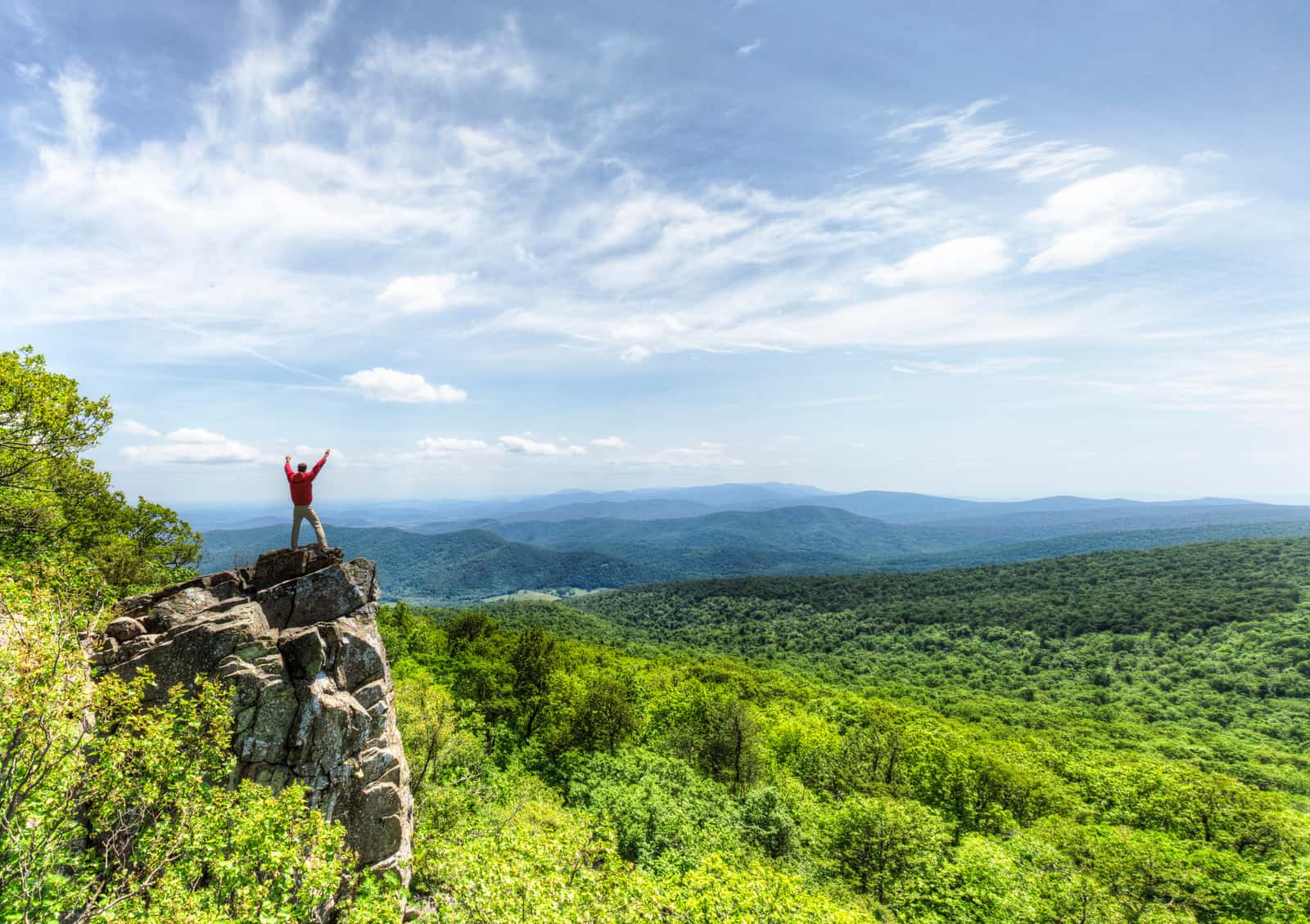
Shenandoah National Park
Virginia
Kentucky's southeastern border with Virginia runs through the Appalachian Mountains for about 130 miles.
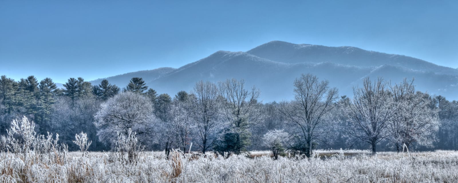
Great Smoky Mountains National Park
Tennessee
Kentucky's southern border with Tennessee follows the 36°30' parallel for about 425 miles, the longest of Kentucky's borders.
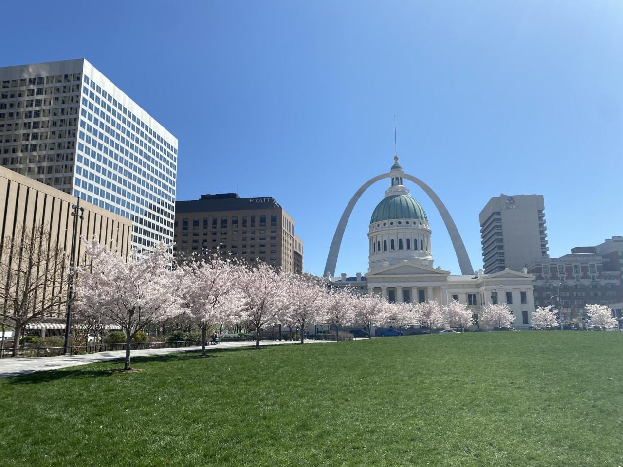
Gateway Arch National Park
Missouri
The Mississippi River forms Kentucky's short western border with Missouri near the town of Hickman.
Which States Border Kentucky?
Kentucky shares its borders with seven U.S. states, more than most states east of the Mississippi River. The Ohio River defines the entire northern boundary, while the Appalachian Mountains shape the eastern borders with West Virginia and Virginia.
North-West: Illinois
Mesa Verde National Park
Illinois and Kentucky are separated by the Ohio River along Kentucky's northwestern edge. The river creates a natural, meandering boundary that has historically defined commerce and migration in the region.
The Kentucky-Illinois border stretches for about 130 miles. Kentucky counties along this stretch include Ballard, McCracken, Livingston, and Crittenden on the north bank of the Ohio River.
- Ohio River forms the entire boundary
- About 130 miles of river border
- Kentucky counties: Ballard, McCracken, Livingston, Crittenden
North: Indiana
Indiana Dunes National Park
Indiana and Kentucky are separated by the Ohio River along Kentucky's northern edge. This border extends for about 130 miles and passes through one of the most industrialized stretches of the Ohio River valley.
Major cities along this section include Louisville (KY) directly across from Jeffersonville and New Albany (IN). Kentucky counties along this border include Henderson, Union, Webster, Hopkins, and Jefferson.
- Ohio River forms the entire boundary
- About 130 miles of river border
- Louisville, KY faces Jeffersonville, IN across the river
North-East: Ohio
Cuyahoga Valley National Park
Ohio and Kentucky share the Ohio River as their border along Kentucky's northeastern edge. This section includes the Cincinnati metropolitan area, one of the largest urban areas on the Ohio River.
The Kentucky-Ohio border runs for about 190 miles. Covington and Newport in Kentucky sit across from Cincinnati, Ohio, making this one of the most densely populated border areas in the region.
- Ohio River forms the entire boundary
- Cincinnati metro area straddles this border
- About 190 miles of river border
East: West Virginia
New River Gorge National Park
West Virginia and Kentucky share a rugged Appalachian border defined by rivers and mountain ridges. The Big Sandy River and its tributary, the Tug Fork, form much of this boundary, with additional sections following upland ridgelines.
The Kentucky-West Virginia border runs for about 230 miles through coalfield country. Pike County (KY) and Mingo County (WV) are the main counties at the heart of this border region.
- Big Sandy River and Tug Fork define much of the border
- About 230 miles through Appalachian coalfields
- Kentucky counties: Pike, Martin, Lawrence
South-East: Virginia
Shenandoah National Park
Virginia and Kentucky share a straight land border through the Appalachian Mountains in Kentucky's southeastern corner. This is one of the more remote border sections, defined by mountain ridges rather than rivers.
The Kentucky-Virginia border extends for about 130 miles. The Cumberland Gap, a historic passage through the Appalachians, lies at the junction of Kentucky, Virginia, and Tennessee.
- Straight land border through the Appalachians
- About 130 miles long
- Cumberland Gap at the KY-VA-TN tri-state point
South: Tennessee
Great Smoky Mountains National Park
Tennessee and Kentucky share a straight border following the 36°30' parallel north latitude, making it Kentucky's longest border at about 425 miles. This east-west line runs from Virginia in the east to Missouri and the Mississippi River in the west.
The Kentucky-Tennessee border passes through diverse terrain including the Appalachian Plateau, the Pennyroyal region, and the western lowlands. Kentucky counties along this border include Christian, Todd, Logan, Simpson, Allen, Monroe, Cumberland, Clinton, Wayne, McCreary, and Whitley.
- Follows the 36°30' parallel — longest of Kentucky's borders
- About 425 miles east-west
- Straight line from VA to the Mississippi River
West: Missouri
Gateway Arch National Park
Missouri and Kentucky share a very short border where the Mississippi River creates a narrow connection at the far western tip of Kentucky, near the town of Hickman. This section is sometimes called the 'Jackson Purchase' region.
The Kentucky-Missouri border along the Mississippi is only about 30 miles long, making it Kentucky's shortest border. Fulton County, Kentucky, sits at this western tip.
- Mississippi River forms the boundary
- About 30 miles — Kentucky's shortest border
- Fulton County, KY at the western tip
Key Facts & Statistics
This table shows every border Kentucky shares, organized by direction and type.
Kentucky borders more states than any other U.S. state east of the Mississippi (7 neighbors)
Frequently Asked Questions
What states border Kentucky?
How many states border Kentucky?
What river forms Kentucky's northern border?
What is Kentucky's longest border?
What is Kentucky's shortest border?
Does Kentucky border the ocean?
What is at the junction of Kentucky, Virginia, and Tennessee?
Sources & References
This article has been researched using authoritative sources to ensure accuracy and reliability.